Railways · 20th Century
Ehemaliger Güterbahnhof


© GeoBasis-DE / LVermGeoRP, dl-de/by-2-0
There is no picture of this object yet. Do you have a photo that you would like to make available to the Kulturdatenbank? Submit a picture
Classification
- Subject area
- Architectural and Art Monuments
- Object type
- Railways
- Date
- 1936
- Period
- 20th Century
Location
- District
- City of Trier
- Collective municipality
- Verbandsfreie Gemeinde Trier
- Town
- Trier
- Locality / location
- Trier-Nord
- Street
- Wasserweg
- Field name
- Ortslage
- Coordinates
- WGS 84: 49.763000, 6.658470 (Position: exact) WGS 84: 49° 45′ 46.8″ N, 6° 39′ 30.5″ E UTM 32 (ETRS89): E 331374 · N 5514912
Sources
Data sources
- Gleisplan von 1936. http://www.gleisplaene.de/galeriezwei/index-01.htm
On the internet
Last edited: 28 May 2014 Object ID: 34767
https://kulturdb.de/en/objekt/34767-trier-nord-ehemaliger-gueterbahnhof
Nearby
The nearest objects
 70 m
Railways
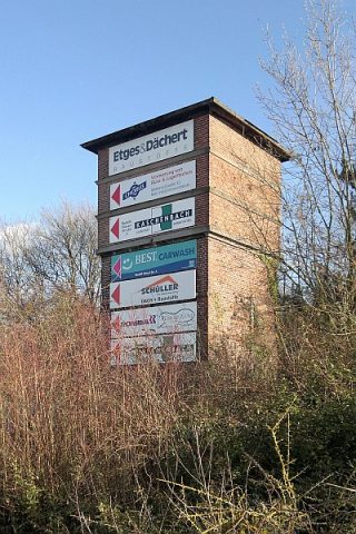
Moseltalbahn - Güterbahnhof - Wasserturm
No picture
110 m
Town Houses and Commercial Buildings
Haus Schinkelstraße 1
No picture
120 m
Town Houses and Commercial Buildings
Haus Schinkelstraße 2
No picture
140 m
Town Houses and Commercial Buildings
Haus Schinkelstraße 3
No picture
170 m
Monuments
Gedenktafel für Laura-Marie Klein
No picture
170 m
Economy, Trade and Transport
Trierer Walzwerk Aktiengesellschaft
No picture
180 m
Town Houses and Commercial Buildings
Haus Franz-Georg-Straße 117
 190 m
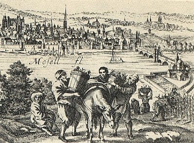
Vineyard Sites