Railways · Historicism / Art Nouveau
Moseltalbahn - Ehemalige Haltestelle Longuich


© GeoBasis-DE / LVermGeoRP, dl-de/by-2-0
There is no picture of this object yet. Do you have a photo that you would like to make available to the Kulturdatenbank? Submit a picture
Classification
- Subject area
- Architectural and Art Monuments
- Object type
- Railways
- Date
- 1907
Location
- District
- Trier-Saarburg
- Collective municipality
- Schweich an der römischen Weinstraße
- Municipality
- Longuich
- Street
- Weinstraße
- Field name
- Ortslage
- Coordinates
- WGS 84: 49.804488, 6.773927 (Position: exact) WGS 84: 49° 48′ 16.2″ N, 6° 46′ 26.1″ E UTM 32 (ETRS89): E 339825 · N 5519270
Sources
Data sources
- [1] Topographische Karte von 1907.
On the internet
Last edited: 12 Sep 2020 Object ID: 34792
https://kulturdb.de/en/objekt/34792-longuich-moseltalbahn-ehemalige-haltestelle-longuich
Nearby
The nearest objects
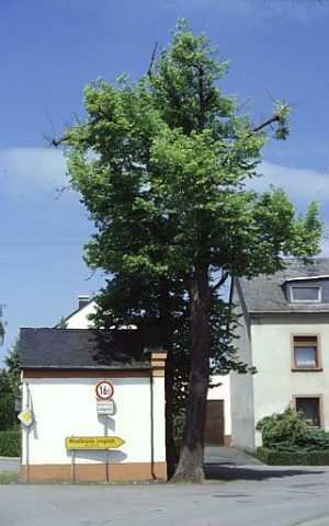 30 m
Chapels
Kapelle mit zwei alten Linden
30 m
Lime Trees
Kapelle mit zwei alten Linden
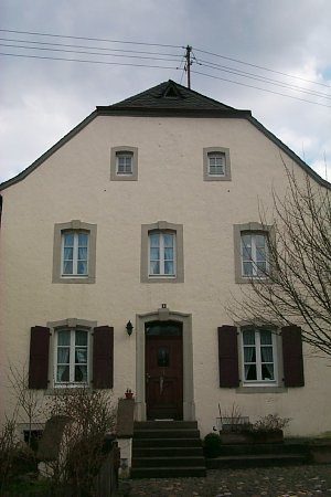 130 m
Farmhouses and Farm Buildings
Winzerhaus
No picture
160 m
Farmhouses and Farm Buildings
Krüppelwalmdachbau
No picture
170 m
Farmhouses and Farm Buildings
Winkelhof
No picture
190 m
Town Houses and Commercial Buildings
Wohnhaus
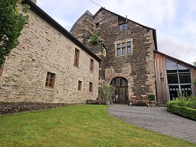 200 m
Castles
Gotisches Burghaus
No picture
230 m
Farmhouses and Farm Buildings