Farmhouses and Farm Buildings · Neoclassicism
Ehemaliges Weingut
- Listed monument


© GeoBasis-DE / LVermGeoRP, dl-de/by-2-0
There is no picture of this object yet. Do you have a photo that you would like to make available to the Kulturdatenbank? Submit a picture
Description
This description is only available in German.
Translate with Google opens this page in Google Translate (external service)
Quereinhaus mit Hof, Wohnteil bezeichnet 1846, Wirtschaftsteil bezeichnet 1854 (?), Kelterteil bezeichnet 1882.[1]
Classification
- Subject area
- Architectural and Art Monuments
- Category
- Residential and Farm Buildings
- Object type
- Farmhouses and Farm Buildings
- Date
- 1846
- Period
- Neoclassicism
Location
- District
- Trier-Saarburg
- Town
- Konz
- Locality / location
- Oberemmel
- Street
- Scharzbergstraße 25
- Field name
- Ortslage
- Coordinates
- WGS 84: 49.658090, 6.628590 (Position: exact) WGS 84: 49° 39′ 29.1″ N, 6° 37′ 42.9″ E UTM 32 (ETRS89): E 328854 · N 5503317
Sources
Data sources
- [1] Denkmalliste der Generaldirektion Kulturelles Erbe, Rheinland-Pfalz; 2011.
On the internet
Last edited: 9 Jun 2014 Object ID: 34807
https://kulturdb.de/en/objekt/34807-konz-ehemaliges-weingut
Nearby
The nearest objects
Vineyard Sites
Rosenberg
 110 m
Chapels
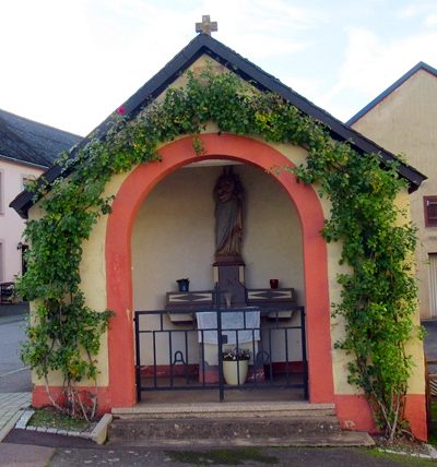
Kapelle
 140 m
Wayside Shrines and Stations of the Cross
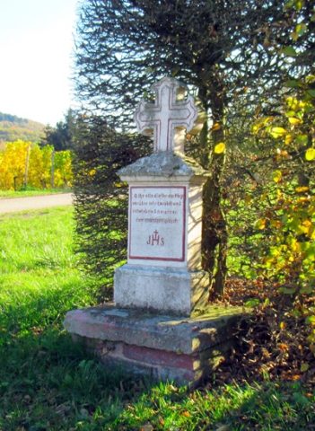
Wegekreuz
Field Names
Im Elzerbungert
Field Names
Unterm Elzerbungert
 260 m
Stolpersteine (Stumbling Stones)
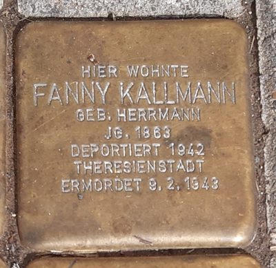
Stolperstein für Fanny Kallmann
 260 m
Stolpersteine (Stumbling Stones)
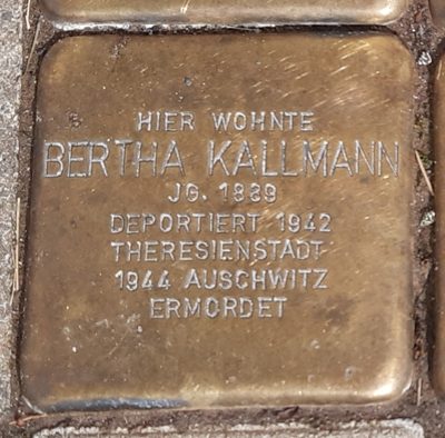
Stolperstein für Bertha Kallmann
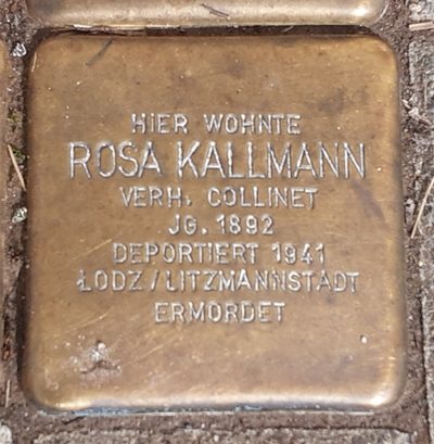 260 m
Stolpersteine (Stumbling Stones)