Water Supply · Undated
Wasserhochbehälter

Classification
- Subject area
- Architectural and Art Monuments
- Category
- Water Supply
- Date
- Undatiert
- Period
- Undated
Location
- District
- City of Trier
- Collective municipality
- Verbandsfreie Gemeinde Trier
- Town
- Trier
- Locality / location
- Zewen
- Street
- Waldstraße
- Field name
- Ortslage
- Coordinates
- WGS 84: 49.722450, 6.573290 (Position: exact) WGS 84: 49° 43′ 20.8″ N, 6° 34′ 23.8″ E UTM 32 (ETRS89): E 325094 · N 5510599
Sources
Data sources
- [1] Elmar Herresthal, Trier, 2014. http://www.panoramio.com/user/3448427
On the internet
de.wikipedia.org/wiki/Trier-Zewen
Picture credits
- Picture 1: © Elmar Herresthal, Trier, 2014. http://www.panoramio.com/user/3448427
Last edited: 13 Jun 2014 Object ID: 34811
https://kulturdb.de/en/objekt/34811-trier-wasserhochbehaelter
Nearby
The nearest objects
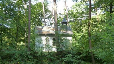 40 m
Chapels
Waldkapelle
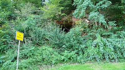 50 m
Caves
Höhle
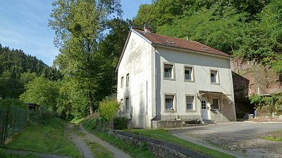 300 m
Mills
Ehemalige Tressels-Mühle
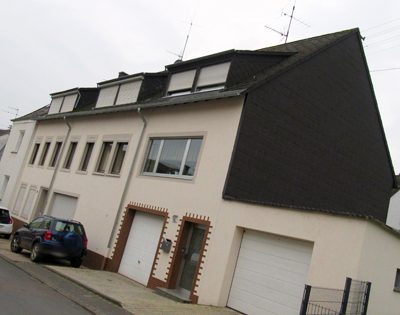 350 m
Farmhouses and Farm Buildings
Ehemalige Hofanlage
No picture
380 m
Fortresses and Bunkers
Westwall - Maschinengewehr-Doppelschartenstand
 380 m
Shooting Ranges
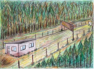
Ehemaliger Schießstand
No picture
460 m
Fortresses and Bunkers
Westwall - Sanitätsstand
No picture
470 m
Fortresses and Bunkers