Farmhouses and Farm Buildings · Baroque / Rococo
Pfarrscheune
- Listed monument


Description
This description is only available in German.
Translate with Google opens this page in Google Translate (external service)
Krüppelwalmdachbau. [1]
Classification
- Subject area
- Architectural and Art Monuments
- Category
- Residential and Farm Buildings
- Object type
- Farmhouses and Farm Buildings
- Date
- 18. Jahrhundert
- Period
- Baroque / Rococo
Location
- District
- Trier-Saarburg
- Collective municipality
- Schweich an der römischen Weinstraße
- Municipality
- Klüsserath
- Street
- Hauptstraße 50
- Field name
- Ortslage
- Coordinates
- WGS 84: 49.843390, 6.848470 (Position: exact) WGS 84: 49° 50′ 36.2″ N, 6° 50′ 54.5″ E UTM 32 (ETRS89): E 345312 · N 5523439
Sources
Data sources
- [1] Denkmalliste der Generaldirektion Kulturelles Erbe, Rheinland-Pfalz; 2011.
On the internet
Picture credits
Last edited: 27 Aug 2024 Object ID: 34861
https://kulturdb.de/en/objekt/34861-kluesserath-pfarrscheune
Nearby
The nearest objects
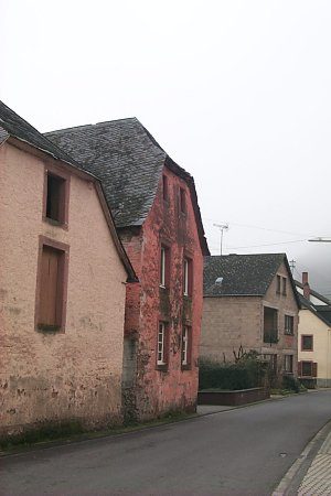 10 m
Town Houses and Commercial Buildings
Krüppelwalmdachbau
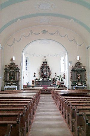 40 m
Catholic Churches
Maria Rosenkranzkönigin
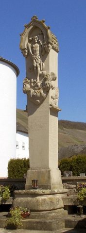 40 m
War Memorials
Kriegerdenkmal
No picture
80 m
Farmhouses and Farm Buildings
Quereinhaus
No picture
90 m
Vineyard Sites
Hinter den Häusern unterm Pichterweg
No picture
90 m
Farmhouses and Farm Buildings
Hofanlage
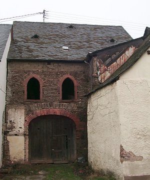 100 m
Synagogues
Angebliche Synagoge
110 m
Jewish History