Farmhouses and Farm Buildings · Historicism / Art Nouveau
Ehemaliges Backhaus

Classification
- Subject area
- Architectural and Art Monuments
- Category
- Residential and Farm Buildings
- Object type
- Farmhouses and Farm Buildings
- Date
- 1857
Location
- District
- Trier-Saarburg
- Collective municipality
- Trier-Land
- Municipality
- Kordel
- Street
- Friedhofstraße 5
- Field name
- Ortslage
- Coordinates
- WGS 84: 49.841170, 6.635390 (Position: exact) WGS 84: 49° 50′ 28.2″ N, 6° 38′ 07.4″ E UTM 32 (ETRS89): E 329986 · N 5523653
Sources
Data sources
- [1] Preußische Katasterkarte von 1857 und Richard Schaffner, Kordel, 2014.
On the internet
Picture credits
- Picture 1: © Peter Valerius, Kordel, 2018.
Last edited: 17 Sep 2018 Object ID: 34904
https://kulturdb.de/en/objekt/34904-kordel-ehemaliges-backhaus
Nearby
The nearest objects
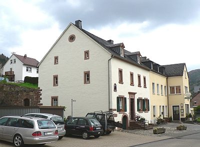 20 m
Farmhouses and Farm Buildings
Mielischhaus
30 m
Execution Sites
Ehemaliger Pranger in der Friedhofstraße
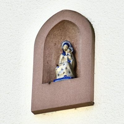 40 m
Wayside Shrines and Stations of the Cross
Maria mit segnendem Kind
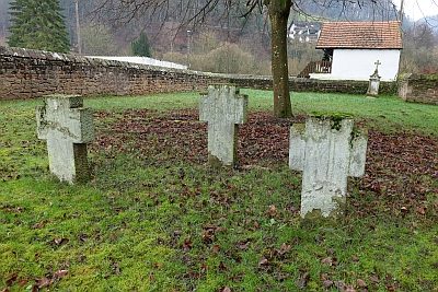 50 m
Christian Cemeteries
Sankt Amandus u. Sankt Vedastus - ehem. Friedhof
 50 m
Field Names
Hinterste Gass ober dem Weg
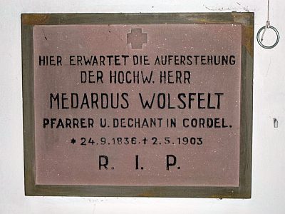 50 m
Burial Sites
Sankt Amandus u. Sankt Vedastus - Pfarrergrabstein
 50 m
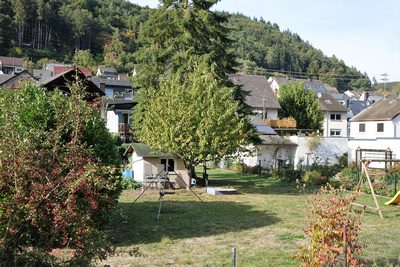
Field Names
In der hintersten Gass unterm Weg
 70 m
War Memorials