Rocks · 20th Century
Nitteler Fels
Naturschutzgebiet


Description
This description is only available in German.
Translate with Google opens this page in Google Translate (external service)
Das 23,85 ha große Naturschutzgebiet, das mit Verordnung vom 5. Oktober 1998 unter Naturschutz gestellt wurde, erstreckt sich nördlich der Ortsgemeinde Nittel und der Landesstraße L 135 und östlich der Mosel und der B 419.
Es handelt sich um einen Kalkmager-, Trockenrasen-Komplex mit Dolomitfels-Formationen an der Obermosel. [1]
Classification
- Subject area
- Natural Features
- Category
- Rocks
- Date
- 1998 [Unterschutzstellung]
- Period
- 20th Century
Location
- District
- Trier-Saarburg
- Collective municipality
- Konz
- Municipality
- Nittel
- Field name
- Im Lehlinger
- Coordinates
- WGS 84: 49.663460, 6.438550 (Position: exact) WGS 84: 49° 39′ 48.5″ N, 6° 26′ 18.8″ E UTM 32 (ETRS89): E 315160 · N 5504364
Sources
Data sources
- [1] Seite „Nitteler Fels“. In: Wikipedia, Die freie Enzyklopädie. Bearbeitungsstand: 22. Juli 2018, 12:48 UTC. URL: https://de.wikipedia.org/w/index.php?title=Nitteler_Fels&oldid=1793… (Abgerufen: 16. September 2020, 07:49 UTC)
On the internet
Picture credits
Last edited: 20 Oct 2020 Object ID: 34912
https://kulturdb.de/en/objekt/34912-nittel-nitteler-fels
Nearby
The nearest objects
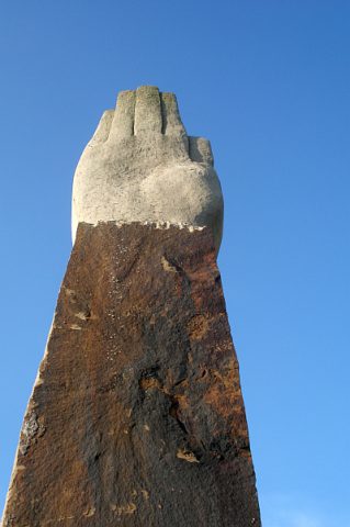 30 m
Works of Art
Skulptur Großer Zeiger
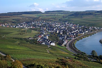 40 m
Viewpoints
Aussichtspunkt Großer Zeiger
Field Names
In der Acht
Vineyard Sites
Kreutzwingert
Railways
Nitteler Tunnel
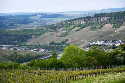 400 m
Caves
Höhle Tempelherrenloch
Railways
Haltestelle Nittel
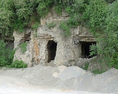 530 m
Extraction and Processing of Raw Materials