Wayside Shrines and Stations of the Cross · Neoclassicism
Sankt Leodegar - Stationenweg auf der Südseite
- Listed monument


© GeoBasis-DE / LVermGeoRP, dl-de/by-2-0
There is no picture of this object yet. Do you have a photo that you would like to make available to the Kulturdatenbank? Submit a picture
Description
This description is only available in German.
Translate with Google opens this page in Google Translate (external service)
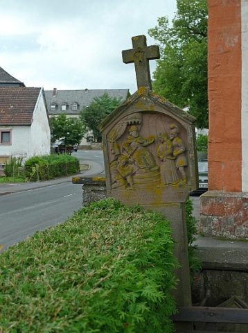
Auf der Süd- und Westseite des Friedhofs sowie östlich der Kirche mehrere Stationen eines Kreuzweges mit teilweise fast vollplastischen Reliefs. Der wohl im 19. Jahrhundert entstandene Kreuzweg verlief ehemals vermutlich am Talhang nordwestlich von Schönecken, da dort eine nahezu identische Station erhalten ist. [1]
Classification
- Subject area
- Architectural and Art Monuments
- Category
- Religious Buildings
- Object type
- Wayside Shrines and Stations of the Cross
- Date
- 19. Jahrhundert
- Period
- Neoclassicism
Location
- District
- Eifelkreis Bitburg-Prüm
- Collective municipality
- Prüm
- Municipality
- Schönecken
- Locality / location
- Wetteldorf
- Street
- Nimstalstraße
- Field name
- Bei der Kirch
- Coordinates
- WGS 84: 50.151937, 6.463850 (Position: exact) WGS 84: 50° 09′ 07.0″ N, 6° 27′ 49.9″ E UTM 32 (ETRS89): E 318826 · N 5558603
Sources
Data sources
- [1] Denkmaltopographie Bundesrepublik Deutschland, Kulturdenkmäler in Rheinland-Pfalz, Kreis Bitburg-Prüm, 9.3 Wernersche Verlagsgesellschaft ISBN 3-88462-170-X
On the internet
Last edited: 1 Sep 2010 Object ID: 3497
https://kulturdb.de/en/objekt/3497-schoenecken-sankt-leodegar-stationenweg-auf-der-suedseite
Nearby
The nearest objects
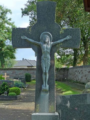 40 m
Burial Sites
Grabstein für die Kinder des Sankt Vinzenzhauses
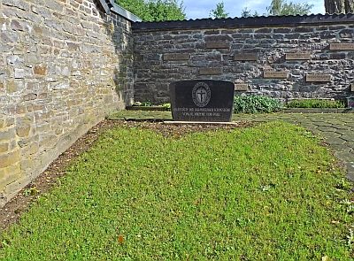 70 m
Burial Sites
Grabstätte der Barmherzigen Schwestern
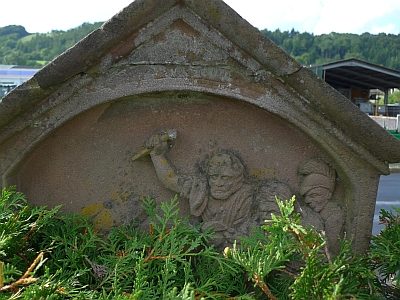 70 m
Wayside Shrines and Stations of the Cross
Sankt Leodegar - Stationenweg auf der Westseite
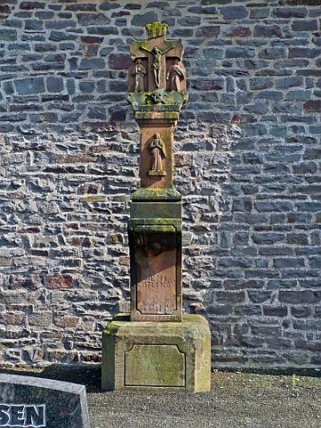 80 m
Wayside Shrines and Stations of the Cross
Kreuzigungsbildstock vor der Leichenhalle
 110 m
Organs
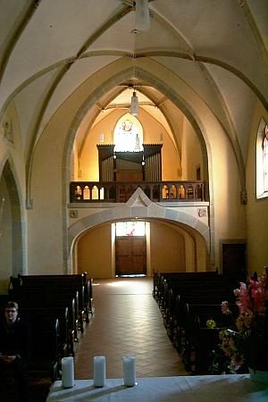
Sankt Leodegar - Orgel
 110 m
Catholic Churches
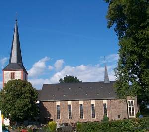
Unserer Lieben Frauen
 120 m
Wayside Shrines and Stations of the Cross
Sankt Leodegar - Kreuzwegstation vor der Kirche
 120 m
Catholic Churches