Wayside Shrines and Stations of the Cross · Undated
Wegekreuz


Description
This description is only available in German.
Translate with Google opens this page in Google Translate (external service)
Classification
- Subject area
- Architectural and Art Monuments
- Category
- Religious Buildings
- Object type
- Wayside Shrines and Stations of the Cross
- Date
- Undatiert
- Period
- Undated
Location
- District
- Trier-Saarburg
- Collective municipality
- Saarburg-Kell
- Municipality
- Serrig
- Field name
- Schiffelwild
- Coordinates
- WGS 84: 49.576171, 6.587846 (Position: exact) WGS 84: 49° 34′ 34.2″ N, 6° 35′ 16.2″ E UTM 32 (ETRS89): E 325621 · N 5494304
Sources
Data sources
- [1] Michael Grün, Trier, 2018.
On the internet
Picture credits
Last edited: 19 Apr 2021 Object ID: 35014
https://kulturdb.de/en/objekt/35014-serrig-wegekreuz
Nearby
The nearest objects
No picture
200 m
Field Names
Auf Mannsborn
No picture
340 m
Vineyard Sites
Kupp
No picture
340 m
Fortresses and Bunkers
Westwall - Panzerabwehrkanonen-Stand
No picture
370 m
Vineyard Sites
Unter der Wingertsheck
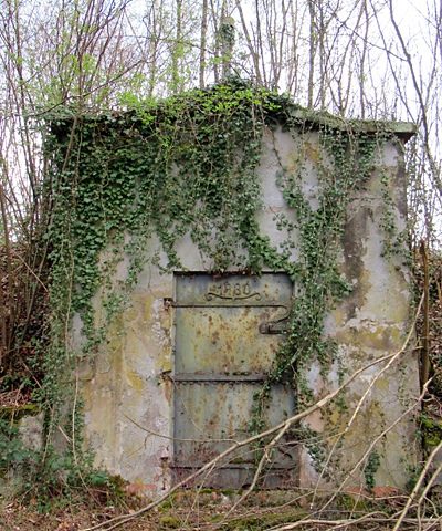 370 m
Waterworks
Ehemaliges Wasserwerk Serrig
No picture
390 m
Field Names
In der Wolfswiese
No picture
460 m
Field Names
Hinter der Wolfwiese
No picture
460 m
Vineyard Sites