Farmhouses and Farm Buildings · Baroque / Rococo
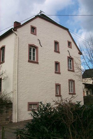
Stattlicher Streckhof
- Listed monument


© GeoBasis-DE / LVermGeoRP, dl-de/by-2-0
There is no picture of this object yet. Do you have a photo that you would like to make available to the Kulturdatenbank? Submit a picture
Description
This description is only available in German.
Translate with Google opens this page in Google Translate (external service)
Wohnhaus aus der zweiten Hälfte des 18. Jahrhunderts, Vorgartenummauerung vom Ende des 19. Jahrhunderts. [1]
Classification
- Subject area
- Architectural and Art Monuments
- Category
- Residential and Farm Buildings
- Object type
- Farmhouses and Farm Buildings
- Date
- Zweite Hälfte des 18. Jahrhunderts
- Period
- Baroque / Rococo
Location
- District
- Eifelkreis Bitburg-Prüm
- Collective municipality
- Bitburger Land
- Municipality
- Metterich
- Street
- Kirchstraße 16
- Field name
- Ortslage
- Coordinates
- WGS 84: 49.979470, 6.588040 (Position: exact) WGS 84: 49° 58′ 46.1″ N, 6° 35′ 16.9″ E UTM 32 (ETRS89): E 327077 · N 5539136
Sources
Data sources
- [1] Denkmalliste der Generaldirektion Kulturelles Erbe, Rheinland-Pfalz; 2010.
On the internet
Last edited: 21 Aug 2014 Object ID: 35089
https://kulturdb.de/en/objekt/35089-metterich-stattlicher-streckhof
Nearby
The nearest objects
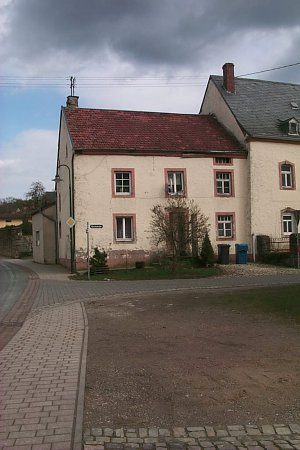 10 m
Farmhouses and Farm Buildings
Bauernhaus
Farmhouses and Farm Buildings
Kleine Hofanlage
Farmhouses and Farm Buildings
Breitgiebeliges Wohnhaus
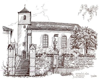 50 m
Catholic Churches
Sankt Eucharius
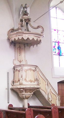 50 m
Catholic Churches
Sankt Eucharius - Innen
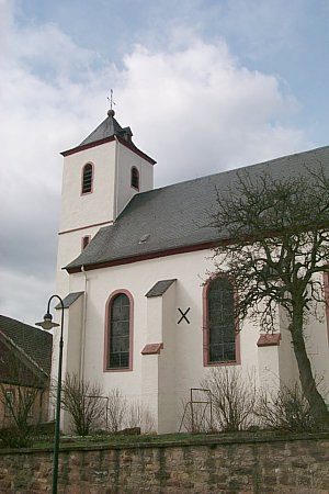 50 m
Organs
Sankt Eucharius - Orgel
50 m
Pilgrimage Sites
Sankt Eucharius - Wallfahrtskirche
 50 m
Rectories