Place Names / Local History · Early Middle Ages / Romanesque
Ortsname / Ortsgeschichte


© GeoBasis-DE / LVermGeoRP, dl-de/by-2-0
There is no picture of this object yet. Do you have a photo that you would like to make available to the Kulturdatenbank? Submit a picture
Description
This description is only available in German.
Translate with Google opens this page in Google Translate (external service)
Fränkische Rodungssiedlung von 1144.
Classification
- Subject area
- History
- Category
- Place Names / Local History
- Date
- 1144
Location
- District
- Bernkastel-Wittlich
- Collective municipality
- Wittlich-Land
- Municipality
- Greimerath (Bernkastel-Wittlich)
- Locality / location
- Greimerath
- Field name
- Ortslage
- Coordinates
- WGS 84: 50.040464, 6.907907 (Position: within the village) WGS 84: 50° 02′ 25.7″ N, 6° 54′ 28.5″ E UTM 32 (ETRS89): E 350197 · N 5545226
Sources
Data sources
- Internet
On the internet
Last edited: 21 Feb 2003 Object ID: 3524
https://kulturdb.de/en/objekt/3524-greimerath-bernkastel-wittlich-ortsname-ortsgeschichte
Nearby
The nearest objects
Fountains and Wells
Brunnenkammer
Farmhouses and Farm Buildings
Wohnhaus
 140 m
Wayside Shrines and Stations of the Cross
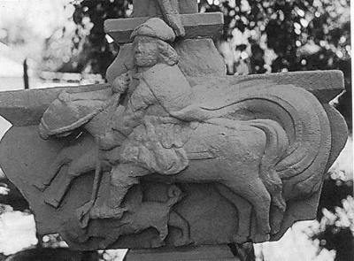
Kreuz mit Sankt Georg
 150 m
Catholic Churches
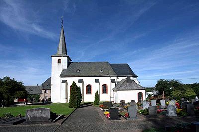
Kirche Sankt Georg
 150 m
Works of Art
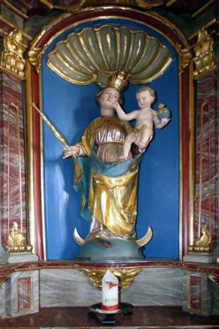
Kirche Sankt Georg - Muttergottes mit dem Kinde
 150 m
Altars
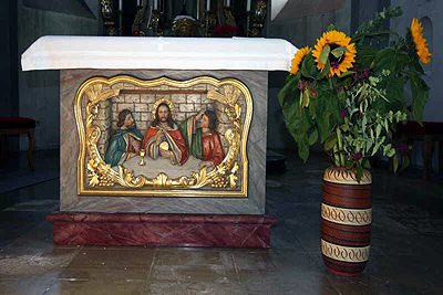
Kirche Sankt Georg - Altar
 150 m
Catholic Churches
Kirche Sankt Georg - Kanzel
Wayside Shrines and Stations of the Cross