Place Names / Local History · Baroque / Rococo
Ortsname / Ortsgeschichte


© GeoBasis-DE / LVermGeoRP, dl-de/by-2-0
There is no picture of this object yet. Do you have a photo that you would like to make available to the Kulturdatenbank? Submit a picture
Description
This description is only available in German.
Translate with Google opens this page in Google Translate (external service)
An der oberen Prims entstand schon vor 1600 eine Eisenschmelze mit einer kleinen Siedlung. Der heutige Ort geht auf eine Köhlersiedlung um 1730 zurück, die ihren Namen Damflos nach einem Bach zwischen Dämmen fließend ableitet. Die Bewohner des Waldhüttendorfes suchten ihre Armut durch Heimindustrie (Herstellung hölzerner Löffel, Wäscheklammern etc.) zu mildern; oft half jedoch nur die Auswanderung nach Ungarn und später Amerika. Damflos war mehrmals Sieger im Wettbewerb Unser Dorf soll schöner werden.
Classification
- Subject area
- History
- Category
- Place Names / Local History
- Date
- 1730
- Period
- Baroque / Rococo
Location
- District
- Trier-Saarburg
- Collective municipality
- Hermeskeil
- Municipality
- Damflos
- Field name
- Ortslage
- Coordinates
- WGS 84: 49.668623, 6.982308 (Position: within the village) WGS 84: 49° 40′ 07.0″ N, 6° 58′ 56.3″ E UTM 32 (ETRS89): E 354411 · N 5503742
Sources
Data sources
- Homepage der Verbandsgemeinde Hermeskeil http://www.hermeskeil.de/gemeinde/Geschichte/Damflos.htm
On the internet
Last edited: 17 Sep 2001 Object ID: 3526
https://kulturdb.de/en/objekt/3526-damflos-ortsname-ortsgeschichte
Nearby
The nearest objects
 less than 10 m
Coats of Arms
Wappen der Gemeinde Damflos
 less than 10 m
War Memorials
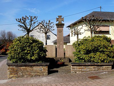
Kriegerdenkmal
Catholic Churches
Sankt Johannes der Täufer
Field Names
Bornwiese
Wayside Shrines and Stations of the Cross
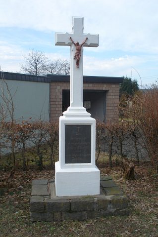
Holzkreuz
 280 m
Wayside Shrines and Stations of the Cross
Kreuz im Hinteren Ecken
Field Names
Obersten Großen Röder
Field Names