Field Names · Undated
In der Acht


© GeoBasis-DE / LVermGeoRP, dl-de/by-2-0
There is no picture of this object yet. Do you have a photo that you would like to make available to the Kulturdatenbank? Submit a picture
Description
This description is only available in German.
Translate with Google opens this page in Google Translate (external service)
Acht – Bedeutung: Herrengut, ausgesondertes und unter besonderen Rechtsschutz genommenes Ackerland eines Herrn. Die Bedeutung entwickelte sich [...] aus 'Eigentum' über 'Sondereigentum' zu 'Herrengrundstück'. Das Zeitwort achten ist synonym zu fronen, so daß die Acht ein Grundstück gewesen sein dürfte, daß dem Frondienst unterlag. [1]
Classification
- Subject area
- History
- Category
- Field Names
- Date
- Undatiert
- Period
- Undated
Location
- District
- Trier-Saarburg
- Collective municipality
- Saarburg-Kell
- Municipality
- Mannebach (Trier-Saarburg)
- Locality / location
- Mannebach
- Field name
- In der Acht
- Coordinates
- WGS 84: 49.639770, 6.500861 (Position: exact) WGS 84: 49° 38′ 23.2″ N, 6° 30′ 03.1″ E UTM 32 (ETRS89): E 319568 · N 5501579
Sources
Data sources
- [1] Dittmaier, Heinrich: Rheinische Flurnamen. Ludwig Röhrscheid Verlag, Bonn, 1963.
On the internet
Last edited: 15 Oct 2014 Object ID: 35318
https://kulturdb.de/en/objekt/35318-mannebach-trier-saarburg-in-der-acht
Nearby
The nearest objects
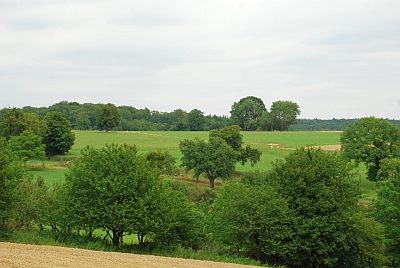 230 m
Field Names
Fleischtriesch
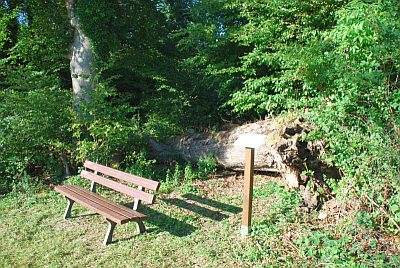 270 m
Beeches
Wolfsbuchen
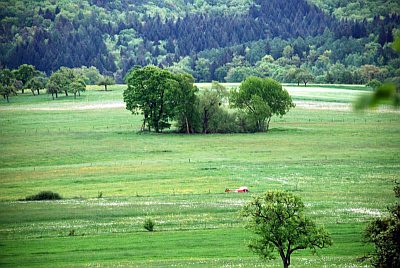 310 m
Raised Bogs
Hochmoor
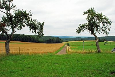 320 m
Field Names
Auf Krummet
Viewpoints
Aussichtspunkt Auf Krummet
Field Names
Kümmerner Dorfwiese
 510 m
Wayside Shrines and Stations of the Cross
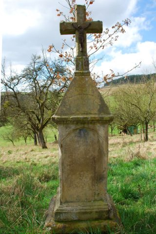
Unfallkreuz In der Steinkaul
Field Names