Extraction and Processing of Raw Materials · Historicism / Art Nouveau
Ehemaliger Steinbruch


© GeoBasis-DE / LVermGeoRP, dl-de/by-2-0
There is no picture of this object yet. Do you have a photo that you would like to make available to the Kulturdatenbank? Submit a picture
Classification
- Subject area
- Architectural and Art Monuments
- Category
- Economy, Trade and Transport
- Object type
- Extraction and Processing of Raw Materials
- Date
- 1893
Location
- District
- Bernkastel-Wittlich
- Collective municipality
- Wittlich-Land
- Municipality
- Hasborn
- Locality / location
- Hasbornermühle
- Field name
- Der Neuberg
- Coordinates
- WGS 84: 50.060818, 6.919268 (Position: exact) WGS 84: 50° 03′ 38.9″ N, 6° 55′ 09.4″ E UTM 32 (ETRS89): E 351074 · N 5547467
Sources
Data sources
- [1] Karte des Deutschen Reiches, 1:100.000, Reichsamt fur Landesaufnahme, Ausgabe von 1893, David Rumsey Historical Map Collection, http://www.davidrumsey.com/
On the internet
Last edited: 9 Dec 2014 Object ID: 35648
https://kulturdb.de/en/objekt/35648-hasbornermuehle-ehemaliger-steinbruch
Nearby
The nearest objects
 320 m
Mills
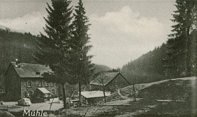
Hasborner Mühle
No picture
370 m
Deserted Settlements
Untergegangenes Dorf Ritzeroth
No picture
470 m
Burial Mounds
Hügelgrab
No picture
530 m
Field Names
Im Borntal
No picture
580 m
Field Names
Buchholzer Berg
No picture
610 m
Field Names
In der Hagendell
No picture
720 m
Wayside Shrines and Stations of the Cross
Wegekreuz
No picture
770 m
Railways