Field Names · Undated
In der Leimkaul


© GeoBasis-DE / LVermGeoRP, dl-de/by-2-0
There is no picture of this object yet. Do you have a photo that you would like to make available to the Kulturdatenbank? Submit a picture
Description
This description is only available in German.
Translate with Google opens this page in Google Translate (external service)
Leim – Zu althochdeutsch. leim, leimo ‚Lehm, Schlamm, Ton‘, mittelhochdeutsch leim st. M., leime sw. M., frühneuhochdeutsch leim ‚Lehm‘. Die Flurnamen beziehen sich in den allermeisten Fällen auf Orte, an denen man den Lehm abbaute, der beim Hausbau zum Füllen des Fachwerks und zum Backofenbau verwendet wurde (Leimkaute, -grube). Manchmal weisen die Namen auf die Bodenbeschaffenheit von Flurstücken hin. [1]
Classification
- Subject area
- History
- Category
- Field Names
- Date
- Undatiert
- Period
- Undated
Location
- District
- Eifelkreis Bitburg-Prüm
- Collective municipality
- Prüm
- Municipality
- Fleringen
- Field name
- In der Leimkaul
- Coordinates
- WGS 84: 50.209551, 6.493312 (Position: exact) WGS 84: 50° 12′ 34.4″ N, 6° 29′ 35.9″ E UTM 32 (ETRS89): E 321145 · N 5564937
Sources
Data sources
- [1] © Hessisches Landesamt für geschichtliche Landeskunde http://www.lagis-hessen.de/de/subjects/gsrec/id/2173/current/1/sn/s…
On the internet
Last edited: 18 Dec 2014 Object ID: 35865
https://kulturdb.de/en/objekt/35865-fleringen-in-der-leimkaul
Nearby
The nearest objects
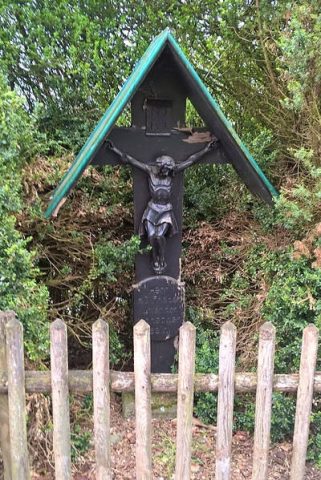 290 m
Wayside Shrines and Stations of the Cross
Wegekreuz
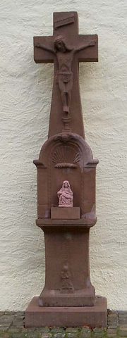 380 m
Burial Sites
Grabdenkmal
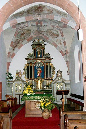 410 m
Catholic Churches
Sankt Lukas (2)
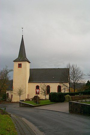 410 m
Catholic Churches
Sankt Lukas (1)
Field Names
Auf dem Kirchenfeld
Wayside Shrines and Stations of the Cross
Wegekreuz
Field Names
Im krummen Acker
Field Names