Field Names · Undated
Die Lehmkaulen


© GeoBasis-DE / LVermGeoRP, dl-de/by-2-0
There is no picture of this object yet. Do you have a photo that you would like to make available to the Kulturdatenbank? Submit a picture
Description
This description is only available in German.
Translate with Google opens this page in Google Translate (external service)
Leimen: zu althochdeutsch. leim, leimo ‚Lehm, Schlamm, Ton‘, mittelhochdeutsch leim st. M., leime sw. M., frühneuhochdeutsch leim ‚Lehm‘. Die Flurnamen beziehen sich in den allermeisten Fällen auf Orte, an denen man den Lehm abbaute, der beim Hausbau zum Füllen des Fachwerks und zum Backofenbau verwendet wurde (Leimkaute, -grube). Manchmal weisen die Namen auf die Bodenbeschaffenheit von Flurstücken hin.
Kaule: mittelhochdeutsch kûle = Grube, Loch. [1]
Classification
- Subject area
- History
- Category
- Field Names
- Date
- Undatiert
- Period
- Undated
Location
- District
- Bernkastel-Wittlich
- Collective municipality
- Thalfang am Erbeskopf
- Municipality
- Thalfang
- Locality / location
- Bäsch
- Field name
- Die Lehmkaulen
- Coordinates
- WGS 84: 49.742604, 7.015639 (Position: exact) WGS 84: 49° 44′ 33.4″ N, 7° 00′ 56.3″ E UTM 32 (ETRS89): E 357034 · N 5511903
Sources
Data sources
- [1] © Hessisches Flurnamenarchiv Gießen / Prof. Dr. Hans Ramge
- http://lagis.online.uni-marburg.de/de/help/info/sn/mhfb?lemma=Leimen
On the internet
Last edited: 18 Dec 2014 Object ID: 35890
https://kulturdb.de/en/objekt/35890-thalfang-die-lehmkaulen
Nearby
The nearest objects
 210 m
Commemorative Plantings
Kaisergarten
Field Names
Apfelbaumsdriesch
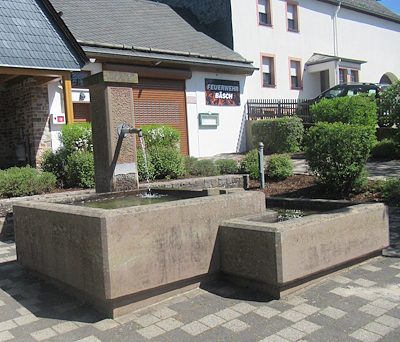 480 m
Fountains and Wells
Laufbrunnen
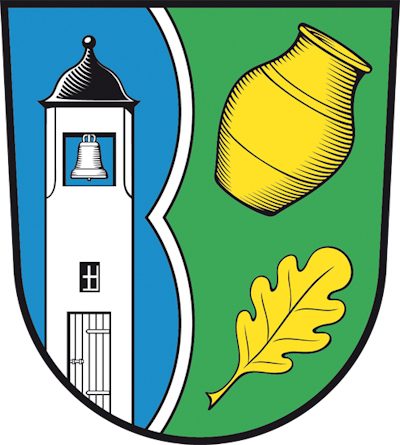 500 m
Coats of Arms
Wappen des Ortsbezirks Bäsch
Field Names
Auf der Krummhaag
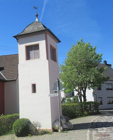 540 m
Bell Towers
Glockenturm
Place Names / Local History
Die Mark Thalfang
Field Names