Field Names · Undated
Im Nassen Thal

Description
This description is only available in German.
Translate with Google opens this page in Google Translate (external service)
Nass - Zum Adjektiv althochdeutsch naz, mittehochdeutsch naz‚ feucht, nass‘. Namengebend war nasses, morastiges Gelände. [1]
Classification
- Subject area
- History
- Category
- Field Names
- Date
- Undatiert
- Period
- Undated
Location
- District
- Trier-Saarburg
- Collective municipality
- Konz
- Municipality
- Temmels
- Field name
- Im Nassen Thal
- Coordinates
- WGS 84: 49.672576, 6.474100 (Position: exact) WGS 84: 49° 40′ 21.3″ N, 6° 28′ 26.8″ E UTM 32 (ETRS89): E 317759 · N 5505291
Sources
Data sources
- [1] © Hessisches Flurnamenarchiv Gießen / Prof. Dr. Hans Ramge. https://www.uni-giessen.de/cms/fbz/fb05/germanistik/forschung/sprac…
On the internet
Picture credits
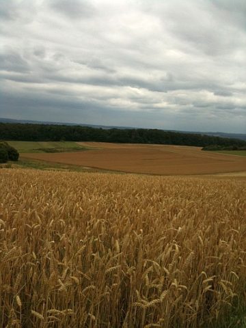
- Picture 1: © Michael Grün, Trier, 2022.
Last edited: 19 Sep 2022 Object ID: 36040
https://kulturdb.de/en/objekt/36040-temmels-im-nassen-thal
Nearby
The nearest objects
No picture
240 m
Field Names
Gründchen
 610 m
Deserted Settlements
Ehemaliger Birkelter Hof
No picture
610 m
Field Names
Kolbersgrund
No picture
690 m
Field Names
Im Quergrund
No picture
690 m
Field Names
In den Rothkampen
 770 m
Viewpoints
Aussichtspunkt Faulenberg
 900 m
Field Names
Faulenberg
No picture
960 m
Field Names