Viewpoints · Undated
Aussichtspunkt Zur Kaulay


Description
This description is only available in German.
Translate with Google opens this page in Google Translate (external service)
189 Meter über NHN.
Classification
- Subject area
- Natural Features
- Category
- Viewpoints
- Date
- Undatiert
- Period
- Undated
Location
- District
- Trier-Saarburg
- Collective municipality
- Trier-Land
- Municipality
- Kordel
- Street
- Bei Zur Kaulay 29
- Field name
- Im Frohnholzberg
- Coordinates
- WGS 84: 49.841620, 6.631330 (Position: exact) WGS 84: 49° 50′ 29.8″ N, 6° 37′ 52.8″ E UTM 32 (ETRS89): E 329695 · N 5523713
Sources
Data sources
- [1] Peter Valerius, Kordel, 2015.
On the internet
burgramstein.geheimnisvolles-trier.de
Picture credits
Last edited: 14 Jan 2015 Object ID: 36119
https://kulturdb.de/en/objekt/36119-kordel-aussichtspunkt-zur-kaulay
Nearby
The nearest objects
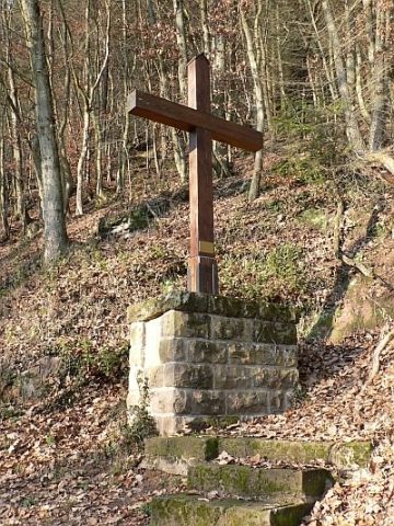 less than 10 m
Wayside Shrines and Stations of the Cross
Balkenkreuz
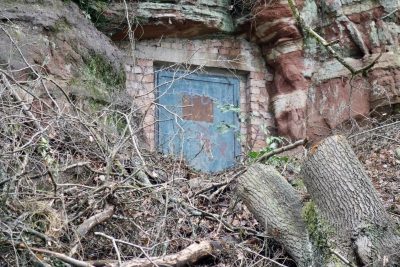 40 m
Fortresses and Bunkers
Felsenhöhle als Bunker
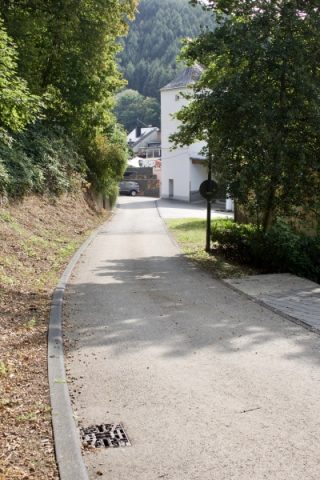 50 m
Economy, Trade and Transport
Ehemalige Hebestelle an der Prämienstraße
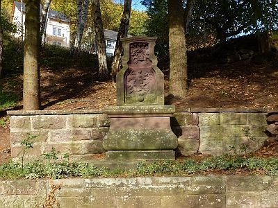 90 m
Wayside Shrines and Stations of the Cross
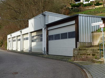
Bildstock Maria Himmelfahrt - Kopie (1)
 90 m
Mills
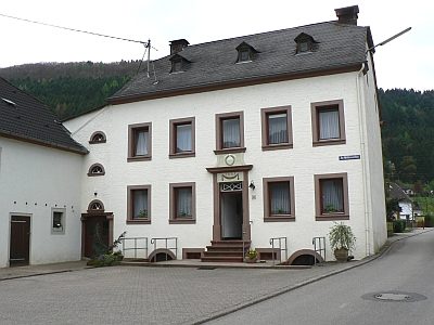
Ehemalige Fronholzmühle
 110 m
Mills
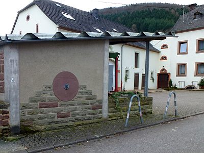
Ehemalige Ölmühle
 110 m
Mills
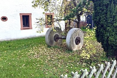
Ehemalige Ölmühle - Mühlsteine
 110 m
Mills