Field Names · Undated
Hinter der Erzkaul


© GeoBasis-DE / LVermGeoRP, dl-de/by-2-0
There is no picture of this object yet. Do you have a photo that you would like to make available to the Kulturdatenbank? Submit a picture
Description
This description is only available in German.
Translate with Google opens this page in Google Translate (external service)
Erz: zu althochdeutsch aruz, aruzzi, mittelhochdeutsch erze st.N. 'Erz'. Die Namen erinnern an den Abbau von Bodenschätzen [...] oder an die Bodenbeschaffenheit. [1]
Classification
- Subject area
- History
- Category
- Field Names
- Date
- Undatiert
- Period
- Undated
Location
- District
- Eifelkreis Bitburg-Prüm
- Town
- Speicher
- Street
- Am Sportplatz
- Field name
- Hinter der Erzkaul
- Coordinates
- WGS 84: 49.939276, 6.642346 (Position: exact) WGS 84: 49° 56′ 21.4″ N, 6° 38′ 32.4″ E UTM 32 (ETRS89): E 330829 · N 5534544
Sources
Data sources
- [1] Landesgeschichtliches Informationssystem Hessen, 2015.
- http://cgi-host.uni-marburg.de/~hlgl/mhfb/id.cgi?lines=0&ex=rs&tabl…
On the internet
Last edited: 20 Jan 2015 Object ID: 36141
https://kulturdb.de/en/objekt/36141-speicher-hinter-der-erzkaul
Nearby
The nearest objects
 100 m
Elms
Ulme
100 m
Elms
Ulme
110 m
Elms
Ulme
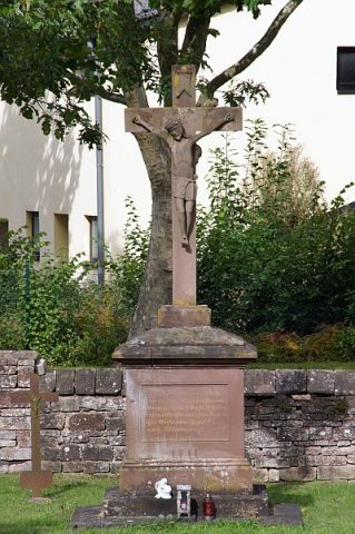 120 m
War Memorials
Friedhofskreuz
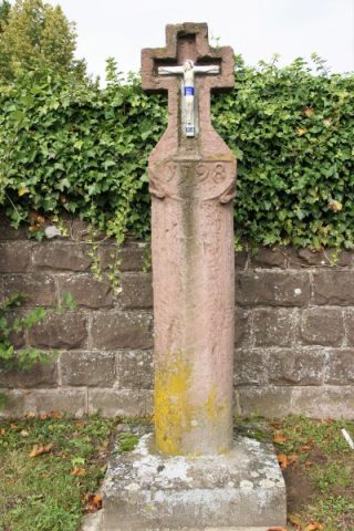 140 m
Wayside Shrines and Stations of the Cross
Schaftkreuz vor der Friedhofsmauer
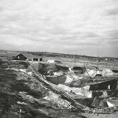 170 m
Extraction and Processing of Raw Materials
Ehemaliger Tonabbau
Field Names
Erzkaul
Schools