Field Names · Undated
Vor Fottseufen


© GeoBasis-DE / LVermGeoRP, dl-de/by-2-0
There is no picture of this object yet. Do you have a photo that you would like to make available to the Kulturdatenbank? Submit a picture
Description
This description is only available in German.
Translate with Google opens this page in Google Translate (external service)
Seife: Die Namen gehören als Substantivbildung von mittelhochdeutsch sîfen st. V. ‚tröpfeln, triefen‘ zu mittelhochdeutsch sîfe sw. M. ‚Bächlein, von einem Bächlein durchzogene Bergschlucht‘; in Flurnamen im Flachland auch im Sinne von ‚feuchte Stelle‘.[...]
Classification
- Subject area
- History
- Category
- Field Names
- Date
- Undatiert
- Period
- Undated
Location
- District
- Eifelkreis Bitburg-Prüm
- Town
- Speicher
- Field name
- Vor Fottseufen
- Coordinates
- WGS 84: 49.920474, 6.682070 (Position: exact) WGS 84: 49° 55′ 13.7″ N, 6° 40′ 55.5″ E UTM 32 (ETRS89): E 333615 · N 5532365
Sources
Data sources
- "AUF DEM SEUFEN", in: Hessische Flurnamen <http://www.lagis-hessen.de/de/subjects/idrec/sn/fln/id/298056> (Stand: 1.11.2012)
On the internet
Last edited: 20 Jan 2015 Object ID: 36175
https://kulturdb.de/en/objekt/36175-speicher-vor-fottseufen
Nearby
The nearest objects
 140 m
Settlements
Römische Siedlungsstelle
Chapels
Hofkapelle Bermeshausen
 690 m
Burial Mounds
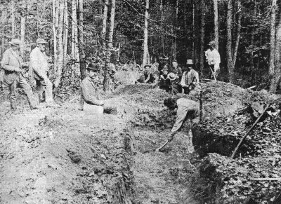
Hügelgrab (1 von 14)
710 m
Burial Mounds
Hügelgrab (2 von 14)
710 m
Burial Mounds
Hügelgrab (4 von 14)
740 m
Burial Mounds
Hügelgrab (5 von 14)
Extraction and Processing of Raw Materials
Römische Töpferei
760 m
Burial Mounds