Rocks · Undated
Schlösserlay
Naturdenkmal
- Listed monument


Description
This description is only available in German.
Translate with Google opens this page in Google Translate (external service)
Benannt nach Schlosserfamilien die im 18. Jahrhundert hier hausten und arbeiteten.
Classification
- Subject area
- Natural Features
- Category
- Rocks
- Date
- Undatiert
- Period
- Undated
Location
- District
- Eifelkreis Bitburg-Prüm
- Collective municipality
- Südeifel
- Municipality
- Ernzen
- Field name
- An der Schlösserlay
- Coordinates
- WGS 84: 49.844694, 6.396375 (Position: exact) WGS 84: 49° 50′ 40.9″ N, 6° 23′ 47.0″ E UTM 32 (ETRS89): E 312816 · N 5524615
Sources
Data sources
- Kompass Wanderführer Vulkaneifel Südeifel. Deutscher Wanderverlag Dr. Mair & Schnabel & Co. Auflage 2002. ISBN 3-8134-0115-4
On the internet
Picture credits
Last edited: 20 Jan 2010 Object ID: 3621
https://kulturdb.de/en/objekt/3621-ernzen-schloesserlay
Nearby
The nearest objects
No picture
130 m
Burial Mounds
Gräberfeld
 270 m
Settlements
Römische Siedlung
No picture
440 m
Cremation Graves
Römisches Brandgräberfeld
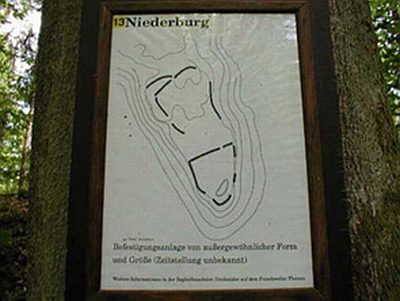 640 m
Ring Forts
Ferschweiler Plateau
No picture
670 m
Settlements
Römische Siedlungsstelle
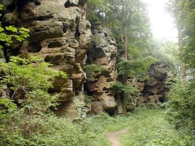 780 m
Rocks
Schweigestelle - Schweineställe
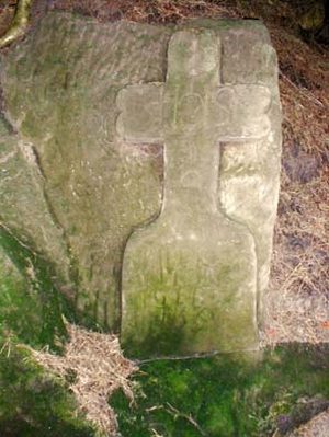 810 m
Wayside Shrines and Stations of the Cross
Jegerkreuz
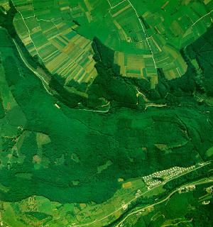 860 m
Natural Fortresses