Field Names · Undated
Kalkseienberg


© GeoBasis-DE / LVermGeoRP, dl-de/by-2-0
There is no picture of this object yet. Do you have a photo that you would like to make available to the Kulturdatenbank? Submit a picture
Description
This description is only available in German.
Translate with Google opens this page in Google Translate (external service)
Kalk: Zu althochdeutsch mittelhochdeutsch kalc starkes Maskulinum ‚Kalk‘, einer Entlehnung aus lateinisch calx. Die Flurnamen verweisen auf Orte, an denen Kalk an die Oberfläche tritt. Bei ausreichender Stärke der Kalkschichten wurde der Kalk in Gruben oder Kauten gebrochen. Die Kalksteine wurden dann in Kalköfen und Kalkreusen durch Ausglühen zu Kalk gebrannt. [1]
Classification
- Subject area
- History
- Category
- Field Names
- Date
- Undatiert
- Period
- Undated
Location
- District
- Eifelkreis Bitburg-Prüm
- Collective municipality
- Bitburger Land
- Municipality
- Hamm
- Field name
- Kalkseienberg
- Coordinates
- WGS 84: 50.015386, 6.430360 (Position: exact) WGS 84: 50° 00′ 55.4″ N, 6° 25′ 49.3″ E UTM 32 (ETRS89): E 315911 · N 5543505
Sources
Data sources
- [1] Hessisches Flurnamenarchiv Gießen / Prof. Dr. Hans Ramge http://lagis.online.uni-marburg.de/de/help/info/sn/mhfb?lemma=Kalk
On the internet
Last edited: 22 Jan 2015 Object ID: 36307
https://kulturdb.de/en/objekt/36307-hamm-kalkseienberg
Nearby
The nearest objects
Fords
Ehemalige Furt durch die Prüm
Field Names
In der Kalksei
Fords
Ehemalige Furt durch die Prüm
Wayside Shrines and Stations of the Cross
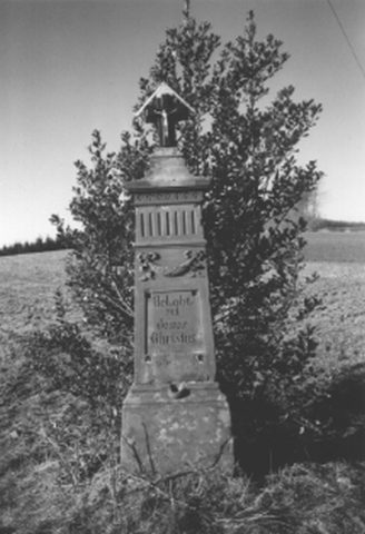
Nischenpfeiler
Mills
Ehemalige Mühle
 540 m
Execution Sites
Galgen der Herrschaft Hamm
Wayside Shrines and Stations of the Cross
Wegekreuz
Wayside Shrines and Stations of the Cross