Field Names · Undated
In der Aul


© GeoBasis-DE / LVermGeoRP, dl-de/by-2-0
There is no picture of this object yet. Do you have a photo that you would like to make available to the Kulturdatenbank? Submit a picture
Description
This description is only available in German.
Translate with Google opens this page in Google Translate (external service)
Aul - Zu mittelhochdeutsch ûle sw. F. ‚Topf‘ einer Entlehnung aus gallorom. ôlla ‚Topf‘. Die Aul-Namen weisen auf Orte, an denen Töpfererde gegraben wurde, die Wege dahin (Aulweg), gelegentlich auch auf den Ofen, in dem die Ware gebrannt wurde (Aulofen).
Classification
- Subject area
- History
- Category
- Field Names
- Date
- Undatiert
- Period
- Undated
Location
- District
- Trier-Saarburg
- Town
- Konz
- Locality / location
- Könen
- Field name
- In der Aul
- Coordinates
- WGS 84: 49.686574, 6.521974 (Position: exact) WGS 84: 49° 41′ 11.7″ N, 6° 31′ 19.1″ E UTM 32 (ETRS89): E 321264 · N 5506732
Sources
Data sources
- © Hessisches Flurnamenarchiv Gießen / Prof. Dr. Hans Ramge
- http://www.lagis-hessen.de/de/help/info/sn/mhfb?lemma=Aul
On the internet
Last edited: 31 Jan 2015 Object ID: 36398
https://kulturdb.de/en/objekt/36398-konz-in-der-aul
Nearby
The nearest objects
Viewpoints
Aussichtspunkt Rosenberg
Extraction and Processing of Raw Materials
Ehemaliger Steinbruch
Field Names
Hinter dem Angelborn
Field Names
Aufm Bornkopf
Extraction and Processing of Raw Materials
Ehemaliger Steinbruch
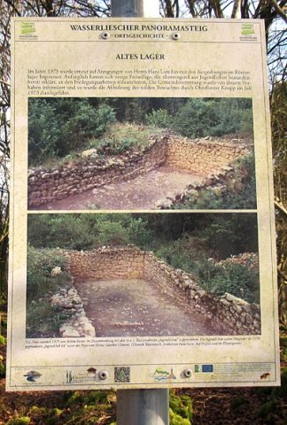 930 m
Entrenchments
Altes Lager (2)
Field Names
Bornkopf
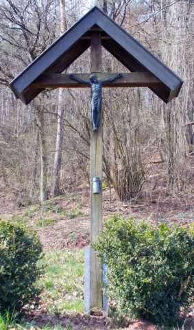 960 m
Wayside Shrines and Stations of the Cross