Field Names · Undated
Goldgrube


© GeoBasis-DE / LVermGeoRP, dl-de/by-2-0
There is no picture of this object yet. Do you have a photo that you would like to make available to the Kulturdatenbank? Submit a picture
Description
This description is only available in German.
Translate with Google opens this page in Google Translate (external service)
Die Namen beziehen sich auf althochdeutsch gold, mittelhochdeutsch golt st. N. ‚Gold‘. Wo sie schon ursprünglich hierher gehören, beziehen sie sich teils auf Stellen, wo tatsächlich oder angeblich Gold oder ähnlich Wertvolles gefunden wurde, teils war aber im übertragenen Sinne nur ein besonders fruchtbarer und ergiebiger Acker namengebend. Im Anschluss daran kann der Name gelegentlich als Spottname für schlechte Böden auftreten. Auch glänzender, glimmerhaltiger Boden oder gelb blühende Pflanzen können der Benennung zu Grunde liegen. [1]
Classification
- Subject area
- History
- Category
- Field Names
- Date
- Undatiert
- Period
- Undated
Location
- District
- Bernkastel-Wittlich
- Collective municipality
- Einheitsgemeinde Morbach
- Municipality
- Morbach
- Locality / location
- Wederath
- Field name
- Goldgrube
- Coordinates
- WGS 84: 49.874464, 7.157706 (Position: exact) WGS 84: 49° 52′ 28.1″ N, 7° 09′ 27.7″ E UTM 32 (ETRS89): E 367629 · N 5526301
Sources
Data sources
- [1] © Hessisches Flurnamenarchiv Gießen / Prof. Dr. Hans Ramge
- http://lagis.online.uni-marburg.de/de/help/info/sn/mhfb?lemma=Gold
On the internet
Last edited: 31 Jan 2015 Object ID: 36451
https://kulturdb.de/en/objekt/36451-morbach-goldgrube
Nearby
The nearest objects
 50 m
Surveying
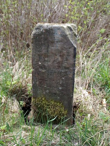
Grenzstein Nr. 5 zwischen Ilsbach und Wederath
Extraction and Processing of Raw Materials
Alter Stollen
Surveying
Grenzstein Nr. 4 zwischen Ilsbach und Wederath
Surveying
Grenzstein Nr. 3 zwischen Ilsbach und Wederath
Field Names
Im Wiesengrund
Surveying
Grenzstein Nr. 6 zwischen Ilsbach und Wederath
Mills
Ehemalige Mühle am Trabener Bach
Wayside Shrines and Stations of the Cross