Field Names · Undated
Eisenkaul


© GeoBasis-DE / LVermGeoRP, dl-de/by-2-0
There is no picture of this object yet. Do you have a photo that you would like to make available to the Kulturdatenbank? Submit a picture
Description
This description is only available in German.
Translate with Google opens this page in Google Translate (external service)
Eisen: zu althochdeutsch îsan, îsarn, mittelhochdeutsch îsen st.N. ‚Eisen‘. Meist beziehen sich die Namen auf die Bodenbeschaffenheit, dann insbesondere auch auf die Eisengewinnung (meist im Tagebau: Eisenkauten) bzw. auf die Eisenverarbeitung (Eisenhammer).
Classification
- Subject area
- History
- Category
- Field Names
- Date
- Undatiert
- Period
- Undated
Location
- District
- Trier-Saarburg
- Collective municipality
- Saarburg-Kell
- Municipality
- Greimerath (Trier-Saarburg)
- Locality / location
- Greimerath
- Field name
- Eisenkaul
- Coordinates
- WGS 84: 49.555523, 6.656730 (Position: exact) WGS 84: 49° 33′ 19.9″ N, 6° 39′ 24.2″ E UTM 32 (ETRS89): E 330529 · N 5491852
Sources
Data sources
- © Hessisches Flurnamenarchiv Gießen / Prof. Dr. Hans Ramge
- http://lagis.online.uni-marburg.de/de/help/info/sn/mhfb?lemma=Eisen
On the internet
Last edited: 20 Feb 2015 Object ID: 36554
https://kulturdb.de/en/objekt/36554-greimerath-trier-saarburg-eisenkaul
Nearby
The nearest objects
Extraction and Processing of Raw Materials
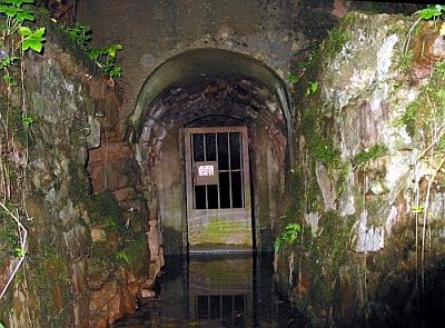
Ehemalige Roteisenstein- und Braunsteingrube
Field Names
Unter der Eisenkaul
Field Names
Ober der Eisenkaul
Fortresses and Bunkers
Westwall - Bunker
Fortresses and Bunkers
Westwall - Gefechtsstand (Inf. Komp.führer)
Field Names
Auf der Eisenkaul
Fortresses and Bunkers
Westwall - Doppelschartenstand
 460 m
Extraction and Processing of Raw Materials