Waterfalls · Undated
Wasserfall am Pfalzer-Bach
Naturdenkmal
- Listed monument

Classification
- Subject area
- Natural Features
- Category
- Waterfalls
- Date
- Undatiert
- Period
- Undated
Location
- District
- Eifelkreis Bitburg-Prüm
- Collective municipality
- Bitburger Land
- Municipality
- Röhl
- Field name
- Buchenbüsch
- Coordinates
- WGS 84: 49.945561, 6.616784 (Position: exact) WGS 84: 49° 56′ 44.0″ N, 6° 37′ 00.4″ E UTM 32 (ETRS89): E 329018 · N 5535301
Sources
Data sources
- [1] Digitale TK25. Landesamt für Vermessung und Geobasisinformation Rheinland-Pfalz. 2001 (ISBN 3-89637-345-5)
On the internet
bitburgerland.de/ortsgemeinden/3/roehl
Picture credits
- Picture 1: Wolfgang Göbel, 2004. http://www.wjgoebel.de/
Last edited: 8 Jun 2004 Object ID: 3668
https://kulturdb.de/en/objekt/3668-roehl-wasserfall-am-pfalzer-bach
Nearby
The nearest objects
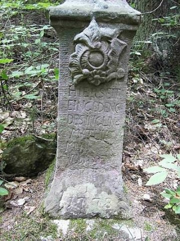 40 m
Wayside Shrines and Stations of the Cross
Gedenkkreuz am Pfalzerbach
No picture
360 m
Vineyard Sites
Wingertsberg
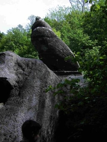 470 m
Railways
Philippsheimer Tunnel - Nordportal
No picture
470 m
Field Names
Scheid
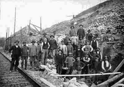 490 m
Railways
Philippsheimer Tunnel - Südportal
No picture
530 m
Extraction and Processing of Raw Materials
Ehemaliger Steinbruch
590 m
Railways
Eifelbahn (Denkmalzone)
No picture
660 m
Field Names