Field Names · Undated
Auf dem Wüstling


© GeoBasis-DE / LVermGeoRP, dl-de/by-2-0
There is no picture of this object yet. Do you have a photo that you would like to make available to the Kulturdatenbank? Submit a picture
Description
This description is only available in German.
Translate with Google opens this page in Google Translate (external service)
Als wüst bezeichnete man Felder, die nicht mehr benutzt wurden. Dies konnte verschiedene Gründe haben. Manchmal lohnte es sich nicht mehr, das schlechte Ackerland zu bepflanzen. Manchmal waren die Besitzer durch Kriege oder Krankheiten gestorben und es war einfach niemand mehr da, der die Äcker bewirtschaftete. [1]
Classification
- Subject area
- History
- Category
- Field Names
- Date
- Undatiert
- Period
- Undated
Location
- District
- Bernkastel-Wittlich
- Collective municipality
- Wittlich-Land
- Municipality
- Osann-Monzel
- Locality / location
- Osann
- Field name
- Auf dem Wüstling
- Coordinates
- WGS 84: 49.926590, 6.950430 (Position: exact) WGS 84: 49° 55′ 35.7″ N, 6° 57′ 01.5″ E UTM 32 (ETRS89): E 352895 · N 5532482
Sources
Data sources
- [1] Flurnamenlexikon Baden-Württemberg, 2015.
- http://www.gottenheim.de/Winzergenossenschaft/Gewanne/bw_flurnamenl…
On the internet
Last edited: 28 Mar 2015 Object ID: 36682
https://kulturdb.de/en/objekt/36682-osann-monzel-auf-dem-wuestling
Nearby
The nearest objects
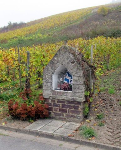 220 m
Wayside Shrines and Stations of the Cross
Heiligenhäuschen
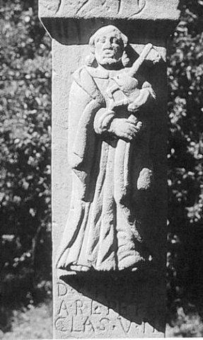 280 m
Wayside Shrines and Stations of the Cross
Schaftkreuz mit Sankt Petrus
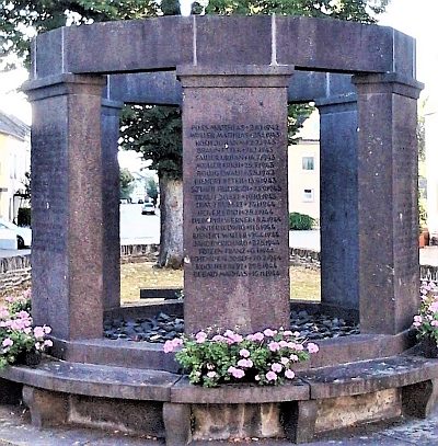 350 m
War Memorials
Kriegerdenkmal
 350 m
Lime Trees
Linde am Ortseingang
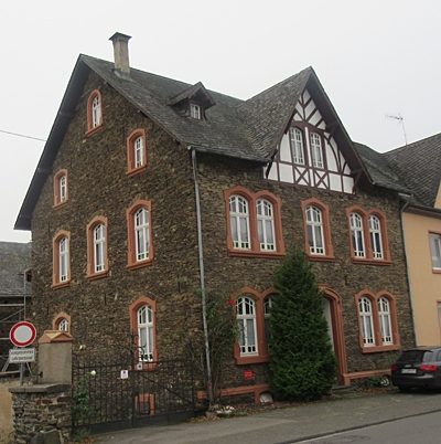 390 m
Farmhouses and Farm Buildings
Gehöft
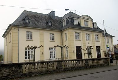 410 m
Schools
Schule
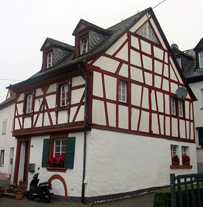 510 m
Farmhouses and Farm Buildings
Wohnhaus
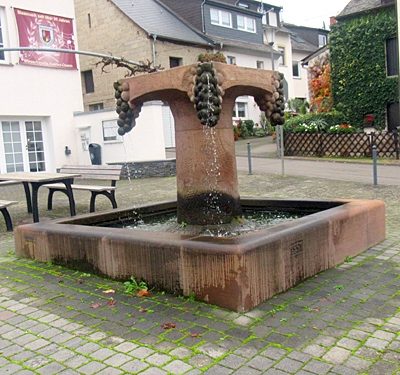 580 m
Fountains and Wells