Field Names · Undated
Breitwiese


© GeoBasis-DE / LVermGeoRP, dl-de/by-2-0
There is no picture of this object yet. Do you have a photo that you would like to make available to the Kulturdatenbank? Submit a picture
Description
This description is only available in German.
Translate with Google opens this page in Google Translate (external service)
Breit: Zu althochdeutsch mittelhochdeutsch breit ‚weit ausgedehnt, breit‘. Das Adjektiv erscheint meist zur Charakterisierung der Grundstücksform im Gegensatz zu eng oder schmal. [1]
Classification
- Subject area
- History
- Category
- Field Names
- Date
- Undatiert
- Period
- Undated
Location
- District
- City of Trier
- Collective municipality
- Verbandsfreie Gemeinde Trier
- Town
- Trier
- Locality / location
- Irsch
- Field name
- Breitwiese
- Coordinates
- WGS 84: 49.730510, 6.712250 (Position: exact) WGS 84: 49° 43′ 49.8″ N, 6° 42′ 44.1″ E UTM 32 (ETRS89): E 335136 · N 5511180
Sources
Data sources
- [1] © Hessisches Flurnamenarchiv Gießen / Prof. Dr. Hans Ramge
- http://lagis.online.uni-marburg.de/de/help/info/sn/mhfb?lemma=Breit
On the internet
Last edited: 28 Mar 2015 Object ID: 37004
https://kulturdb.de/en/objekt/37004-trier-breitwiese
Nearby
The nearest objects
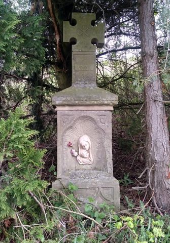 60 m
Wayside Shrines and Stations of the Cross
Wegekreuz an der Landesstraße 143
Field Names
In der obersten Breitwiese
Field Names
Bei der obersten Breitwiese
Field Names
Unterste Breitwiese
Field Names
Pfaffenplatz
Field Names
Wolfswies
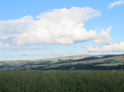 440 m
Viewpoints
Aussichtspunkt Galgenkopf
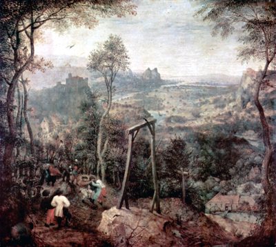 440 m
Execution Sites