Field Names · Undated
Vor dem Büsch bei der Breitwies


© GeoBasis-DE / LVermGeoRP, dl-de/by-2-0
There is no picture of this object yet. Do you have a photo that you would like to make available to the Kulturdatenbank? Submit a picture
Description
This description is only available in German.
Translate with Google opens this page in Google Translate (external service)
Breit: Zu althochdeutsch mittelhochdeutsch breit ‚weit ausgedehnt, breit‘. Das Adjektiv erscheint meist zur Charakterisierung der Grundstücksform im Gegensatz zu eng oder schmal.[...]
Classification
- Subject area
- History
- Category
- Field Names
- Date
- Undatiert
- Period
- Undated
Location
- District
- Eifelkreis Bitburg-Prüm
- Collective municipality
- Bitburger Land
- Municipality
- Orsfeld
- Field name
- Vor dem Büsch bei der Breitwies
- Coordinates
- WGS 84: 50.031130, 6.635700 (Position: exact) WGS 84: 50° 01′ 52.1″ N, 6° 38′ 08.5″ E UTM 32 (ETRS89): E 330675 · N 5544770
Sources
Data sources
- © Hessisches Flurnamenarchiv Gießen / Prof. Dr. Hans Ramge
- http://lagis.online.uni-marburg.de/de/help/info/sn/mhfb?lemma=Breit
On the internet
Last edited: 28 Mar 2015 Object ID: 37200
https://kulturdb.de/en/objekt/37200-orsfeld-vor-dem-buesch-bei-der-breitwies
Nearby
The nearest objects
Field Names
Auf Breitwies
Field Names
Bei der Breitwies
 370 m
Wayside Shrines and Stations of the Cross
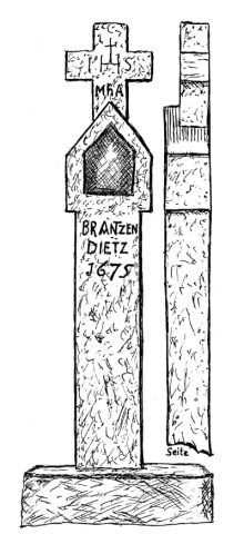
Deister Kreuz
Field Names
Breitwies
Fossils
Fundstellen tierischer Versteinerungen
Field Names
Pütz
Field Names
Im Kirchbüsch
Field Names