Place Names / Local History · Gothic
Ortsgeschichte Steinborn


© GeoBasis-DE / LVermGeoRP, dl-de/by-2-0
There is no picture of this object yet. Do you have a photo that you would like to make available to the Kulturdatenbank? Submit a picture
Description
This description is only available in German.
Translate with Google opens this page in Google Translate (external service)
Steinborn liegt am Westrand einer weiten, flachen Mulde, in der aus mehreren Quellen der Kailbach entspringt. Westlich des Ortes steigt das Gelände steiler an. Die Kuppe "Auf der Held", gewährt einen weiten Ausblick in südlicher Richtung, und erreicht eine Höhe von 530 Meter über Normal-Null. Wie die meisten Dörfer war Steinborn bis ins 20. Jahrhundert nur über unbefestigte Wege mit den Nachbarorten verbunden. Die Fernstraße Bitburg-Daun-Bonn (heute Bundesstraße 257), die den Ort auf der Ostseite umgeht, wurde erst 1930-31 erbaut.
Classification
- Subject area
- History
- Category
- Place Names / Local History
- Date
- 1325
- Period
- Gothic
Location
- District
- Eifelkreis Bitburg-Prüm
- Collective municipality
- Bitburger Land
- Municipality
- Steinborn
- Field name
- Ortslage
- Coordinates
- WGS 84: 50.067868, 6.628107 (Position: within the village) WGS 84: 50° 04′ 04.3″ N, 6° 37′ 41.2″ E UTM 32 (ETRS89): E 330261 · N 5548871
Sources
On the internet
Last edited: 22 Jun 2019 Object ID: 3728
https://kulturdb.de/en/objekt/3728-steinborn-ortsgeschichte-steinborn
Nearby
The nearest objects
 less than 10 m
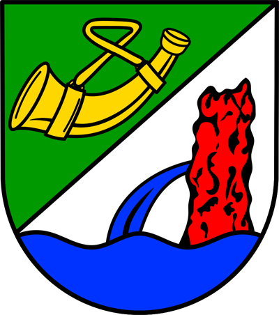
Coats of Arms
Wappen der Gemeinde Steinborn
Farmhouses and Farm Buildings
Wohnhaus
Farmhouses and Farm Buildings
Gehöft
Farmhouses and Farm Buildings
Wohnhaus
Farmhouses and Farm Buildings
Wohnhaus
 120 m
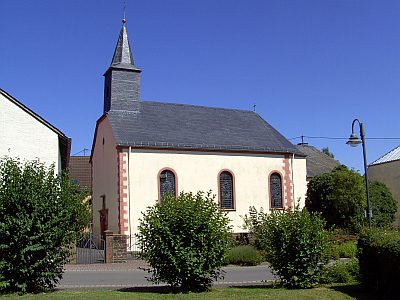
Catholic Churches
Sankt Hubertus
 130 m
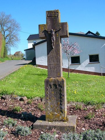
Wayside Shrines and Stations of the Cross
Wegekreuz von 1817
Catholic Churches