Extraction and Processing of Raw Materials · Neoclassicism
Kampsteiner Werk


© GeoBasis-DE / LVermGeoRP, dl-de/by-2-0
There is no picture of this object yet. Do you have a photo that you would like to make available to the Kulturdatenbank? Submit a picture
Classification
- Subject area
- Architectural and Art Monuments
- Category
- Economy, Trade and Transport
- Object type
- Extraction and Processing of Raw Materials
- Date
- 1806
- Period
- Neoclassicism
Location
- District
- Bernkastel-Wittlich
- Town
- Traben-Trarbach
- Locality / location
- Traben
- Field name
- Karpeweiher
- Coordinates
- WGS 84: 49.939588, 7.146629 (Position: exact) WGS 84: 49° 56′ 22.5″ N, 7° 08′ 47.9″ E UTM 32 (ETRS89): E 367012 · N 5533560
Sources
Data sources
- [1] Plan de Concession des Mines de Trarbach, von 1806. In: Friedbert Diederich: Überblick über die Bergwerke in den Revieren Bernkastel und Trarbach. Trier, 2003.
On the internet
Last edited: 2 Mar 2015 Object ID: 37319
https://kulturdb.de/en/objekt/37319-traben-trarbach-kampsteiner-werk
Nearby
The nearest objects
No picture
240 m
Field Names
Haselborn
No picture
300 m
Extraction and Processing of Raw Materials
Stollen
 340 m
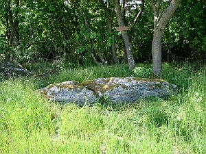
Standing Stones, Menhirs
Kampsteine
 360 m
Groups of Trees
Gebüsch- und Baumgruppe
No picture
390 m
Entrenchments
Trarbacher Schanzen - Alte Schanze
410 m
Groups of Trees
Gehölzgruppe an den alten Schanzen
No picture
490 m
Field Names
Pfaffenfelder
 560 m
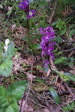
Orchid Sites