Extraction and Processing of Raw Materials · Neoclassicism
Susanna


© GeoBasis-DE / LVermGeoRP, dl-de/by-2-0
There is no picture of this object yet. Do you have a photo that you would like to make available to the Kulturdatenbank? Submit a picture
Classification
- Subject area
- Architectural and Art Monuments
- Category
- Economy, Trade and Transport
- Object type
- Extraction and Processing of Raw Materials
- Date
- 1806
- Period
- Neoclassicism
Location
- District
- Bernkastel-Wittlich
- Town
- Traben-Trarbach
- Locality / location
- Traben
- Field name
- Kirschwald
- Coordinates
- WGS 84: 49.939640, 7.173059 (Position: exact) WGS 84: 49° 56′ 22.7″ N, 7° 10′ 23.0″ E UTM 32 (ETRS89): E 368908 · N 5533520
Sources
Data sources
- [1] Plan de Concession des Mines de Trarbach, von 1806. In: Friedbert Diederich: Überblick über die Bergwerke in den Revieren Bernkastel und Trarbach. Trier, 2003.
On the internet
Last edited: 2 Mar 2015 Object ID: 37321
https://kulturdb.de/en/objekt/37321-traben-trarbach-susanna
Nearby
The nearest objects
No picture
370 m
Extraction and Processing of Raw Materials
Stolleneingang
 530 m
Field Names
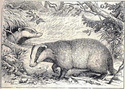
An den Dachslöchern
No picture
660 m
Field Names
Rosengarten
No picture
720 m
Extraction and Processing of Raw Materials
Kirschwalder Werk
No picture
820 m
Extraction and Processing of Raw Materials
Stollen
No picture
910 m
Field Names
Honigwald
 1.1 km
Caves
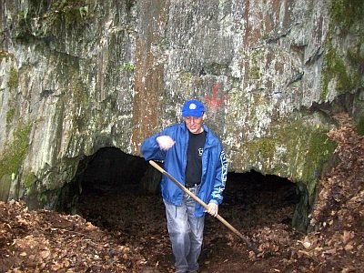
Ahringshöhle im Honigwald
No picture
1.1 km
Extraction and Processing of Raw Materials