Place Names / Local History · Renaissance
Ortsgeschichte Bruderholz


© GeoBasis-DE / LVermGeoRP, dl-de/by-2-0
There is no picture of this object yet. Do you have a photo that you would like to make available to the Kulturdatenbank? Submit a picture
Description
This description is only available in German.
Translate with Google opens this page in Google Translate (external service)
Der Hof Bruderholz gehörte der Abtei Sankt Thomas und ist bereits 1560 auf einer alten
Karte von Mercator unter der Bezeichnung „Broderholtz, Broderholtz Walt“ nachweisbar.
1804 war er bereits durch die Franzosen versteigert worden. Danach kam er in den Besitz
des Preußischen Staates, von dem er dann an Private weiterverkauft wurde. [1]
Classification
- Subject area
- History
- Category
- Place Names / Local History
- Date
- 1560
- Period
- Renaissance
Location
- District
- Eifelkreis Bitburg-Prüm
- Collective municipality
- Bitburger Land
- Municipality
- Sankt Thomas
- Locality / location
- Bruderholz
- Field name
- Ortslage
- Coordinates
- WGS 84: 50.085525, 6.589629 (Position: within the village) WGS 84: 50° 05′ 07.9″ N, 6° 35′ 22.7″ E UTM 32 (ETRS89): E 327571 · N 5550922
Sources
Data sources
- [1] Matthias Heinen: Familienbuch Seinsfeld mit seinen Filialen 1650 – 1915. https://www.wgff-shop.de/media/pdf/10/66/a2/Bd-305-Seinsfeld-Extrak…
On the internet
Last edited: 5 Feb 2023 Object ID: 3782
https://kulturdb.de/en/objekt/3782-sankt-thomas-ortsgeschichte-bruderholz
Nearby
The nearest objects
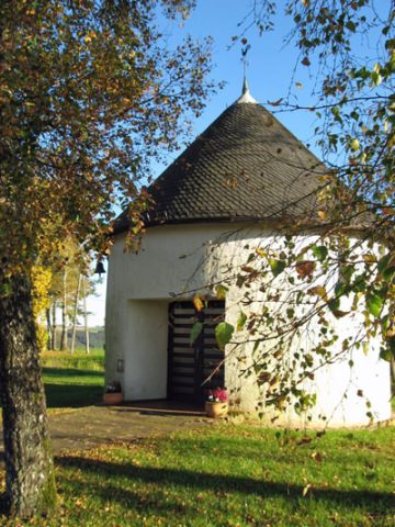 70 m
Chapels
Kapelle
Wayside Shrines and Stations of the Cross
Balkenkreuz westlich Bruderholz
Field Names
Am Pütz
Find Sites
Fundstelle
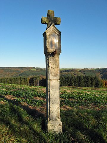 420 m
Wayside Shrines and Stations of the Cross
Nischenkreuz südlich Bruderholz
Washing Places
Ehemaliger Waschplatz Altfraubor
Wayside Shrines and Stations of the Cross
Wegekreuz
Field Names