Field Names · Undated
Kehrberg


© GeoBasis-DE / LVermGeoRP, dl-de/by-2-0
There is no picture of this object yet. Do you have a photo that you would like to make available to the Kulturdatenbank? Submit a picture
Description
This description is only available in German.
Translate with Google opens this page in Google Translate (external service)
Kehr - mittelhochdeutsch ker(e),mittelniederdeutsch kere "Wendung" als Bezeichnung für eine Stelle, wo der Weg eine Biegung macht.
Classification
- Subject area
- History
- Category
- Field Names
- Date
- Undatiert
- Period
- Undated
Location
- District
- Eifelkreis Bitburg-Prüm
- Collective municipality
- Arzfeld
- Municipality
- Lambertsberg
- Field name
- Kehrberg
- Coordinates
- WGS 84: 50.093150, 6.385312 (Position: exact) WGS 84: 50° 05′ 35.3″ N, 6° 23′ 07.1″ E UTM 32 (ETRS89): E 312987 · N 5552262
Sources
Data sources
On the internet
Last edited: 28 Mar 2015 Object ID: 38115
https://kulturdb.de/en/objekt/38115-lambertsberg-kehrberg
Nearby
The nearest objects
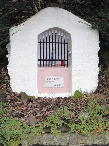 220 m
Marian Grottoes
Mariengrotte
Field Names
Pfaffental
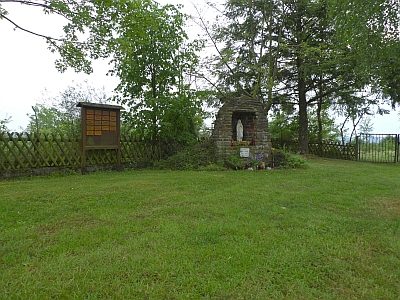 370 m
Marian Grottoes
Sankt Lambertus - Mariengrotte hinter der Kirche
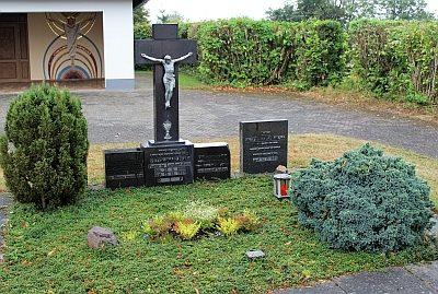 370 m
Wayside Shrines and Stations of the Cross
Sankt Lambertus - Priestergräber auf dem Friedhof
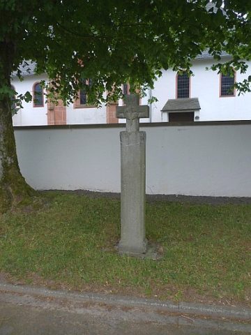 370 m
Legal Monuments
Freistätte
 370 m
Pilgrimage Sites
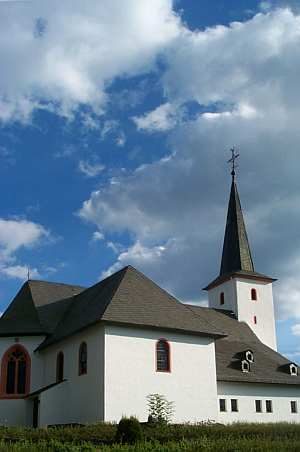
Sankt Lambertus - Wallfahrtsstätte
 370 m
Catholic Churches
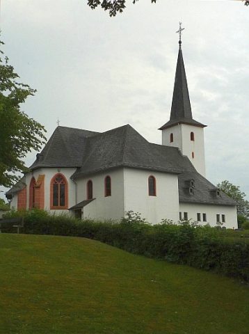
Sankt Lambertus (1)
370 m
Catholic Churches