Field Names · Undated
Beim Kloster


© GeoBasis-DE / LVermGeoRP, dl-de/by-2-0
There is no picture of this object yet. Do you have a photo that you would like to make available to the Kulturdatenbank? Submit a picture
Description
This description is only available in German.
Translate with Google opens this page in Google Translate (external service)
Liegenschaft des ehemaligen Franziskanerinnenklosters.
Classification
- Subject area
- History
- Category
- Field Names
- Date
- Undatiert
- Period
- Undated
Location
- District
- Trier-Saarburg
- Collective municipality
- Schweich an der römischen Weinstraße
- Municipality
- Föhren
- Street
- Hauptstraße
- Field name
- Beim Kloster
- Coordinates
- WGS 84: 49.857914, 6.761106 (Position: exact) WGS 84: 49° 51′ 28.5″ N, 6° 45′ 40.0″ E UTM 32 (ETRS89): E 339079 · N 5525237
Sources
On the internet
Last edited: 28 Mar 2015 Object ID: 38143
https://kulturdb.de/en/objekt/38143-foehren-beim-kloster
Nearby
The nearest objects
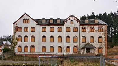 20 m
Monastic Complexes
Ehemaliges Kloster und Kinderheim
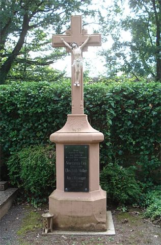 20 m
Monastic Complexes
Private Schule St. Josef - Waisenhaus
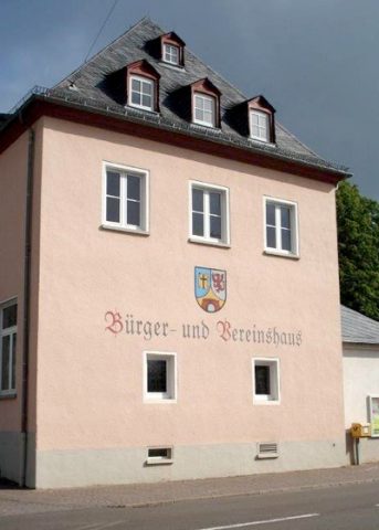 60 m
Monastic Complexes
Bürger- und Vereinshaus Föhren
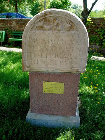 100 m
Burial Mounds
Grabstein des Primulus (Kopie)
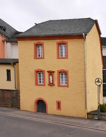 110 m
Rectories
Ehemaliges Küsterhaus
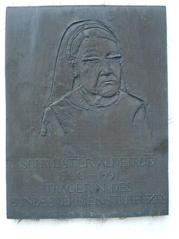 120 m
Catholic Churches
Gedenktafel für Schwester Adeltrud
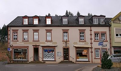 130 m
Town Houses and Commercial Buildings
Wohn- und Geschäftshaus
Field Names