Field Names · Undated
Klostergarten


© GeoBasis-DE / LVermGeoRP, dl-de/by-2-0
There is no picture of this object yet. Do you have a photo that you would like to make available to the Kulturdatenbank? Submit a picture
Description
This description is only available in German.
Translate with Google opens this page in Google Translate (external service)
Ehemaliger Garten des Franziskanerklosters.
Classification
- Subject area
- History
- Category
- Field Names
- Date
- Undatiert
- Period
- Undated
Location
- District
- Bernkastel-Wittlich
- Collective municipality
- Traben-Trarbach
- Municipality
- Enkirch
- Street
- Sponheimer Straße
- Field name
- Klostergarten
- Coordinates
- WGS 84: 49.982383, 7.137511 (Position: exact) WGS 84: 49° 58′ 56.6″ N, 7° 08′ 15.0″ E UTM 32 (ETRS89): E 366476 · N 5538334
Sources
On the internet
Last edited: 28 Mar 2015 Object ID: 38152
https://kulturdb.de/en/objekt/38152-enkirch-klostergarten
Nearby
The nearest objects
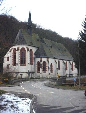 100 m
Pilgrimage Sites
Sankt Franziskus
100 m
Monastic Complexes
Ehemaliges Franziskanerkloster
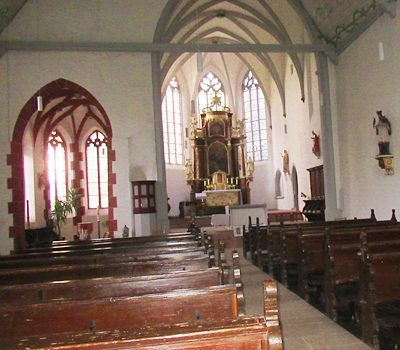 100 m
Pilgrimage Sites
Sankt Franziskus - Innen
Mills
Ehemalige Mühle
Mills
Ehemalige Mühle
Field Names
Bei der Klosterkirch
Field Names
Klostermühl Ahringstal
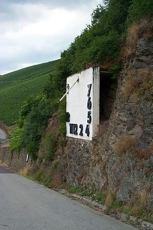 240 m
Surveying