Field Names · Undated
Beim Kloster


© GeoBasis-DE / LVermGeoRP, dl-de/by-2-0
There is no picture of this object yet. Do you have a photo that you would like to make available to the Kulturdatenbank? Submit a picture
Description
This description is only available in German.
Translate with Google opens this page in Google Translate (external service)
Liegenschaft des ehemalige Zisterzienserinnen-Klosters.
Classification
- Subject area
- History
- Category
- Field Names
- Date
- Undatiert
- Period
- Undated
Location
- District
- Eifelkreis Bitburg-Prüm
- Collective municipality
- Bitburger Land
- Municipality
- Sankt Thomas
- Field name
- Beim Kloster
- Coordinates
- WGS 84: 50.068430, 6.599625 (Position: exact) WGS 84: 50° 04′ 06.3″ N, 6° 35′ 58.7″ E UTM 32 (ETRS89): E 328225 · N 5548999
Sources
On the internet
Last edited: 28 Mar 2015 Object ID: 38159
https://kulturdb.de/en/objekt/38159-sankt-thomas-beim-kloster
Nearby
The nearest objects
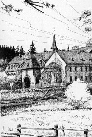 10 m
Monastic Complexes
Klosterbering
Monastic Complexes
Ehemaliges Kloster - Gartenpavillon
 50 m
Wayside Shrines and Stations of the Cross
Nischenkreuz in der Klostermauer
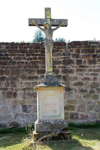 50 m
Wayside Shrines and Stations of the Cross
Hochkreuz
Natural Landscapes
Hopfenanbau im Klosterbering
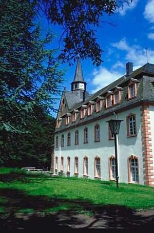 60 m
Monastic Complexes
Kloster und Kirche
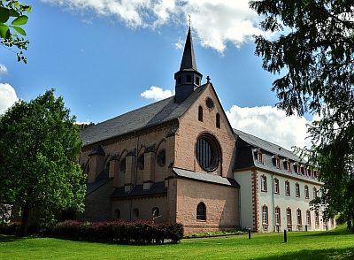 70 m
Trees
Klosterkirche - Ehemaliger Efeuriese
Organs