Wayside Shrines and Stations of the Cross · Undated
Altarkreuz

Classification
- Subject area
- Architectural and Art Monuments
- Category
- Religious Buildings
- Object type
- Wayside Shrines and Stations of the Cross
- Date
- Undatiert
- Period
- Undated
Location
- District
- Trier-Saarburg
- Collective municipality
- Hermeskeil
- Municipality
- Rascheid
- Street
- Hohlwiese 12
- Field name
- Unten im Ort
- Coordinates
- WGS 84: 49.710740, 6.937220 (Position: exact) WGS 84: 49° 42′ 38.7″ N, 6° 56′ 14.0″ E UTM 32 (ETRS89): E 351287 · N 5508513
Sources
Data sources
- Norbert Kutscher, Waldweiler, 2015.
On the internet
Picture credits
- Picture 1: © Norbert Kutscher, Waldweiler, 2015.
Last edited: 8 Apr 2015 Object ID: 38179
https://kulturdb.de/en/objekt/38179-rascheid-altarkreuz
Nearby
The nearest objects
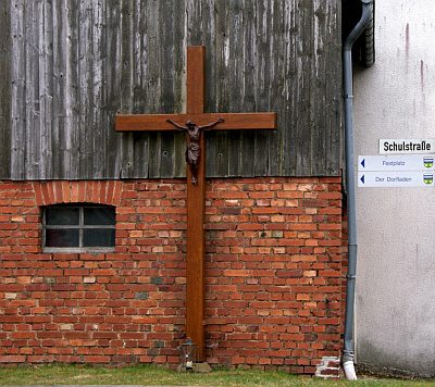 100 m
Wayside Shrines and Stations of the Cross
Holzkreuz
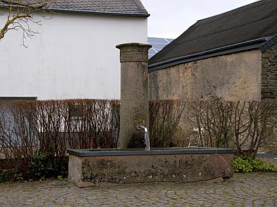 120 m
Fountains and Wells
Laufbrunnen
No picture
140 m
Farmhouses and Farm Buildings
Quereinhaus
No picture
170 m
Farmhouses and Farm Buildings
Quereinhaus
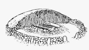 200 m
Burial Mounds
Fürstengrab
No picture
230 m
War Memorials
Kriegerdenkmal
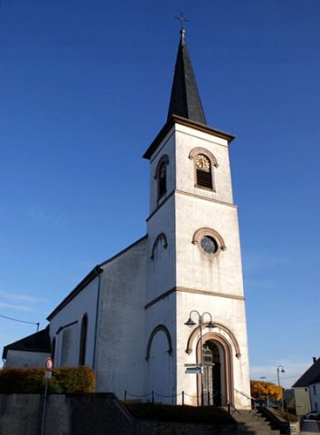 240 m
Catholic Churches
Heilige Anna
 240 m
Organs