Field Names · Undated
Beim Pilgerweg


© GeoBasis-DE / LVermGeoRP, dl-de/by-2-0
There is no picture of this object yet. Do you have a photo that you would like to make available to the Kulturdatenbank? Submit a picture
Description
This description is only available in German.
Translate with Google opens this page in Google Translate (external service)
Mit Fuhrwerken befahrbare Wege gab es in früheren Zeiten von Hofweiler über die Flur vorrangig nach Ittel und nach Welschbillig. Das letzte steile Wegstück von Welschbillig her wird im Hofweiler Platt traditionell "Pilgerweg" genannt; auf ihm gingen Jahr für Jahr die Pilgergruppen nach Eberhardsklausen. Von Hofweiler führte der Weg der Pilger durch den Wald zur Kyllquerung bei der Deimlinger Mühle. [1]
Classification
- Subject area
- History
- Category
- Field Names
- Date
- Undatiert
- Period
- Undated
Location
- District
- Trier-Saarburg
- Collective municipality
- Trier-Land
- Municipality
- Welschbillig
- Locality / location
- Hofweiler
- Field name
- Beim Pilgerweg
- Coordinates
- WGS 84: 49.865510, 6.620450 (Position: exact) WGS 84: 49° 51′ 55.8″ N, 6° 37′ 13.6″ E UTM 32 (ETRS89): E 328998 · N 5526393
Sources
Data sources
- [1] Rudolf Müller: Hofweiler. Ein Eifeldorf und seine Geschichte. Hrsg. Vom Heimat- und Kulturverein Hofweiler e.V., 2009. ISBN 978-3-00-029721-2
On the internet
Last edited: 16 Apr 2015 Object ID: 38198
https://kulturdb.de/en/objekt/38198-welschbillig-beim-pilgerweg
Nearby
The nearest objects
Field Names
Auf dem Flürchen
Field Names
Krummheck
Field Names
Im Altenborn
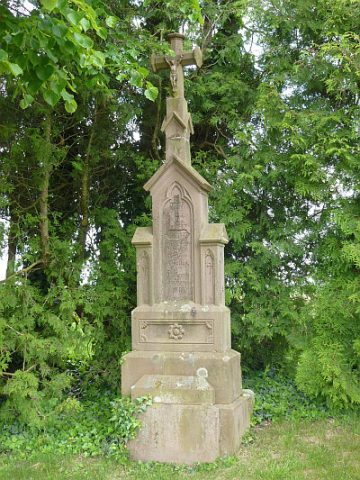 280 m
Wayside Shrines and Stations of the Cross
Pfeilerkreuz
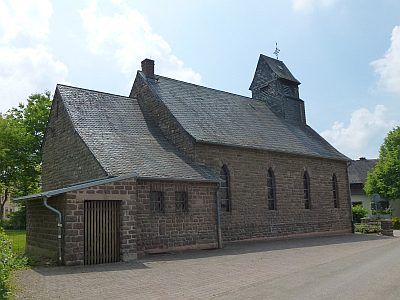 290 m
Catholic Churches
Sankt Markus
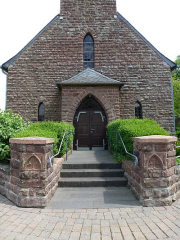 290 m
Catholic Churches
Sankt Markus - Giebelfassade
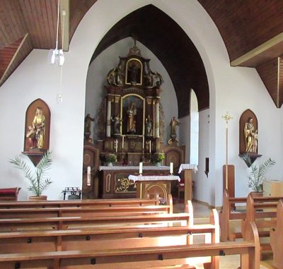 290 m
Catholic Churches
Sankt Markus - Innenausstattung
 310 m
Wayside Shrines and Stations of the Cross