Field Names · Undated
Im Eselspfädchen


© GeoBasis-DE / LVermGeoRP, dl-de/by-2-0
There is no picture of this object yet. Do you have a photo that you would like to make available to the Kulturdatenbank? Submit a picture
Description
This description is only available in German.
Translate with Google opens this page in Google Translate (external service)
Eselpfad, weg etc. - Weg, der nur von einem Esel benutzt werden kann. Oft Pfad für den Esel des Müllers.
Classification
- Subject area
- History
- Category
- Field Names
- Date
- Undatiert
- Period
- Undated
Location
- District
- City of Trier
- Collective municipality
- Verbandsfreie Gemeinde Trier
- Town
- Trier
- Locality / location
- Ruwer/Eitelsbach
- Field name
- Im Eselspfädchen
- Coordinates
- WGS 84: 49.816449, 6.712934 (Position: exact) WGS 84: 49° 48′ 59.2″ N, 6° 42′ 46.6″ E UTM 32 (ETRS89): E 335477 · N 5520732
Sources
Data sources
- Manfred Halfer: Die Flurnamen der Verbandsgemeinde Nieder-Olm (in Auswahl).
- http://www.regionalgeschichte.net/fileadmin/Superportal/Bibliothek/…
On the internet
Last edited: 1 May 2015 Object ID: 38314
https://kulturdb.de/en/objekt/38314-trier-im-eselspfaedchen
Nearby
The nearest objects
Field Names
Röderspitz
Field Names
Auf Röders vor Pitschsohlen
Fords
Moselfurt Geisport
Field Names
In den obersten Langstücker
 560 m
Catering, Inns and Hotels
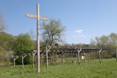
Indianertreffen Kenn
Lime Kilns
Ehemaliger Kalkofen am Moselufer
 640 m
Railways
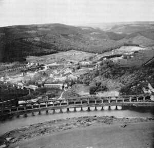
Ehemaliges Eisenbahnviadukt
Field Names