Field Names · Undated
Auf dem Ehewald


© GeoBasis-DE / LVermGeoRP, dl-de/by-2-0
There is no picture of this object yet. Do you have a photo that you would like to make available to the Kulturdatenbank? Submit a picture
Description
This description is only available in German.
Translate with Google opens this page in Google Translate (external service)
Ehe - Zu althochdeutsch êwa ‚Recht, Gesetz‘, mittelhochdeutsch êwe, ê st. F. ‚Gewohnheitsrecht, Recht, Gesetz‘. Die Namen können an Gemeindeweiden und -felder erinnern, die gegebenenfalls zum Weiderecht zweier Orte gehörten. [...]
Classification
- Subject area
- History
- Category
- Field Names
- Date
- Undatiert
- Period
- Undated
Location
- District
- Eifelkreis Bitburg-Prüm
- Collective municipality
- Prüm
- Municipality
- Büdesheim
- Field name
- Auf dem Ehewald
- Coordinates
- WGS 84: 50.200330, 6.573204 (Position: exact) WGS 84: 50° 12′ 01.2″ N, 6° 34′ 23.5″ E UTM 32 (ETRS89): E 326812 · N 5563723
Sources
Data sources
- Hessisches Flurnamenarchiv Gießen / Prof. Dr. Hans Ramge
On the internet
Last edited: 1 May 2015 Object ID: 38358
https://kulturdb.de/en/objekt/38358-buedesheim-auf-dem-ehewald
Nearby
The nearest objects
 230 m
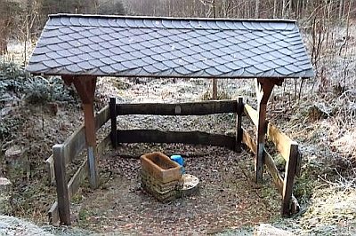
Mineral Springs
Mineralquelle im Hundsbachtal
 260 m
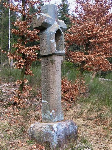
Wayside Shrines and Stations of the Cross
Blutkreuz
Field Names
In Rauherheld
Wayside Shrines and Stations of the Cross
Wegekreuz
Wayside Shrines and Stations of the Cross
Nischenkreuz
Field Names
In Rauherheld
Field Names
In Rauherheld
Field Names