Plane Trees · Undated
Platane
- Listed monument


© GeoBasis-DE / LVermGeoRP, dl-de/by-2-0
There is no picture of this object yet. Do you have a photo that you would like to make available to the Kulturdatenbank? Submit a picture
Description
This description is only available in German.
Translate with Google opens this page in Google Translate (external service)
Naturdenkmal Nr.224
Classification
- Subject area
- Natural Features
- Category
- Trees
- Object type
- Plane Trees
- Date
- Undatiert
- Period
- Undated
Location
- District
- City of Trier
- Collective municipality
- Verbandsfreie Gemeinde Trier
- Town
- Trier
- Locality / location
- Trier-Süd
- Street
- Ecke Hommerstraße / Saarbrücker Straße
- Field name
- Ortslage
- Coordinates
- WGS 84: 49.745530, 6.633330 (Position: exact) WGS 84: 49° 44′ 43.9″ N, 6° 38′ 00.0″ E UTM 32 (ETRS89): E 329502 · N 5513026
Sources
Data sources
- LANIS - Landschaftsinformationssysten der Naturschutzverwaltung Rheinland-Pfalz, 2015. http://www.naturschutz.rlp.de/?q=naturdenkmal
On the internet
Last edited: 14 May 2015 Object ID: 38613
https://kulturdb.de/en/objekt/38613-trier-sued-platane
Nearby
The nearest objects
Town Houses and Commercial Buildings
Etagenwohnhaus
 90 m
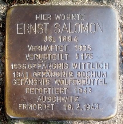
Stolpersteine (Stumbling Stones)
Stolperstein für Ernst Salomon
 90 m
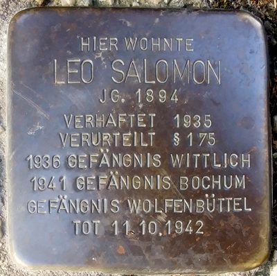
Stolpersteine (Stumbling Stones)
Stolperstein für Leo Salomon
Town Houses and Commercial Buildings
Wohnhaus
Street Names
Ehemalige Kapellenstraße
Monastic Complexes
Ehemaliges Zisterzienserinnenkloster Löwenbrücken
 130 m
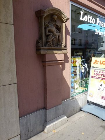
Wayside Shrines and Stations of the Cross
Bildstock
Town Houses and Commercial Buildings