Wayside Shrines and Stations of the Cross · Undated
Mariengrotte auf dem Dalien - Holzkreuz


Classification
- Subject area
- Architectural and Art Monuments
- Category
- Religious Buildings
- Object type
- Wayside Shrines and Stations of the Cross
- Date
- Undatiert
- Period
- Undated
Location
- District
- Trier-Saarburg
- Collective municipality
- Trier-Land
- Municipality
- Kordel
- Field name
- Mitten auf dem Dalien
- Coordinates
- WGS 84: 49.836705, 6.641195 (Position: exact) WGS 84: 49° 50′ 12.1″ N, 6° 38′ 28.3″ E UTM 32 (ETRS89): E 330387 · N 5523144
Sources
On the internet
pfarrei-sankt-hildegard.de/start
Picture credits
Last edited: 10 May 2026 Object ID: 38652
https://kulturdb.de/en/objekt/38652-kordel-mariengrotte-auf-dem-dalien-holzkreuz
Nearby
The nearest objects
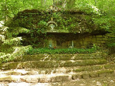 less than 10 m
Marian Grottoes
Mariengrotte auf dem Dalien
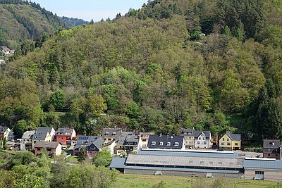 70 m
Field Names
Mitten auf dem Dalien
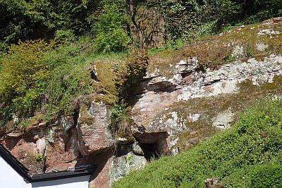 90 m
Geological Features
Mittlerer Buntsandstein
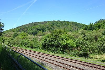 140 m
Field Names
Im Spielberg
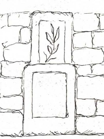 170 m
Wayside Shrines and Stations of the Cross
Ehemaliges Kreuz und Pietà Unter dem Dalien
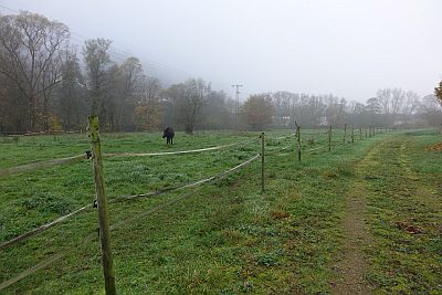 210 m
Field Names
Beim Dalienbrunnen
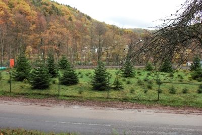 230 m
Prisons
Ehemaliges Lager für Zwangsarbeiter
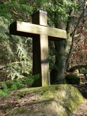 260 m
Wayside Shrines and Stations of the Cross