Field Names · Undated
Beim Gottgraben


Description
This description is only available in German.
Translate with Google opens this page in Google Translate (external service)
Classification
- Subject area
- History
- Category
- Field Names
- Date
- Undatiert
- Period
- Undated
Location
- District
- Trier-Saarburg
- Collective municipality
- Trier-Land
- Municipality
- Kordel
- Street
- Gegenüber Kimmlinger Straße 59
- Field name
- Beim Gottgraben
- Coordinates
- WGS 84: 49.833040, 6.625410 (Position: exact) WGS 84: 49° 49′ 58.9″ N, 6° 37′ 31.5″ E UTM 32 (ETRS89): E 329240 · N 5522772
Sources
Data sources
- [1] Heinrich Dittmaier: Rheinische Flurnamen. Ludwig Röhrscheid Verlag, Bonn, 1963.
- [2] Redaktion
On the internet
Picture credits
Last edited: 27 Jan 2020 Object ID: 38965
https://kulturdb.de/en/objekt/38965-kordel-beim-gottgraben
Nearby
The nearest objects
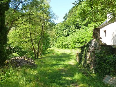 40 m
Field Names
Bei der Reitzenmühl
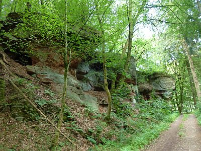 80 m
Rocks
Fels südlich Reitzenmühle
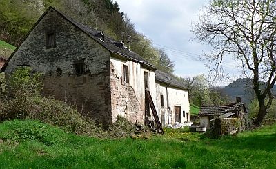 80 m
Mills
Reitzenmühle (1)
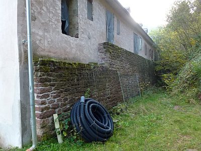 80 m
Mills
Reitzenmühle (2)
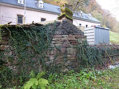 90 m
Farmhouses and Farm Buildings
Reitzenmühle - Backhaus
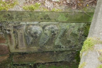 90 m
Inscriptions
Brücke über den Kimmlinger Bach - Inschrift
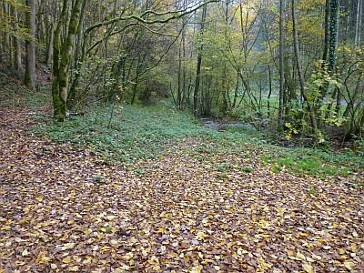 150 m
Street Names
Sogenannter Russenweg
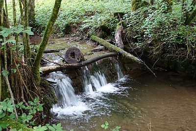 190 m
Mills