Fortresses and Bunkers · 20th Century
Ehemaliges Sanitätsmateriallager


Description
This description is only available in German.
Translate with Google opens this page in Google Translate (external service)
Classification
- Subject area
- Architectural and Art Monuments
- Object type
- Fortresses and Bunkers
- Date
- 1936-40
- Period
- 20th Century
- Creator, builder, architect, artist
- Organisation Todt
Location
- District
- Trier-Saarburg
- Collective municipality
- Saarburg-Kell
- Municipality
- Serrig
- Field name
- Beim Heiligenborn
- Coordinates
- WGS 84: 49.585204, 6.624149 (Position: exact) WGS 84: 49° 35′ 06.7″ N, 6° 37′ 26.9″ E UTM 32 (ETRS89): E 328277 · N 5495225
Sources
Data sources
- [1] http://www.panoramio.com/map/#lt=49.5846312303&ln=6.62490284553&z=2…
- [2] Michael Grün, Trier, 2021.
On the internet
Picture credits
Last edited: 20 Apr 2021 Object ID: 39040
https://kulturdb.de/en/objekt/39040-serrig-ehemaliges-sanitaetsmateriallager
Nearby
The nearest objects
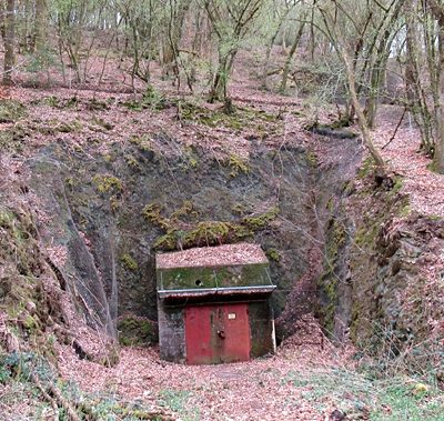 110 m
Fortresses and Bunkers
Ehemaliges Sanitätsmateriallager
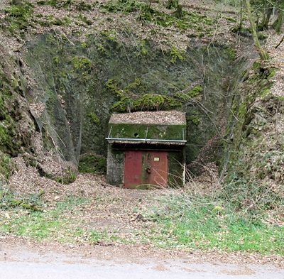 160 m
Fortresses and Bunkers
Ehemaliges Sanitätsmateriallager
No picture
180 m
Field Names
Unter dem Theuerberg
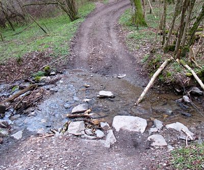 280 m
Fords
Furt über den Serriger Bach
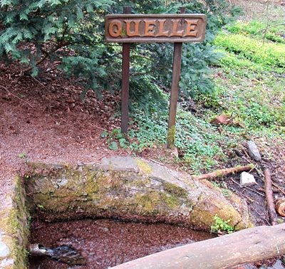 310 m
Springs
Quelle am Heiligenborn
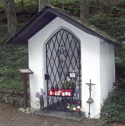 310 m
Pilgrimage Sites
Heiligenborn - Wallfahrtskapelle
330 m
Field Names
Beim Heiligenborn
No picture
400 m
Field Names