Surveying · Undated
Grenzstein Zerf-Scheiden-Waldhölzbach


© GeoBasis-DE / LVermGeoRP, dl-de/by-2-0
There is no picture of this object yet. Do you have a photo that you would like to make available to the Kulturdatenbank? Submit a picture
Classification
- Subject area
- Architectural and Art Monuments
- Category
- Markers and Monuments
- Object type
- Surveying
- Date
- Undatiert
- Period
- Undated
Location
- District
- Trier-Saarburg
- Collective municipality
- Saarburg-Kell
- Municipality
- Zerf
- Field name
- Hochwald
- Coordinates
- WGS 84: 49.557630, 6.741410 (Position: exact) WGS 84: 49° 33′ 27.5″ N, 6° 44′ 29.1″ E UTM 32 (ETRS89): E 336660 · N 5491899
Sources
Data sources
- [1] © OpenStreetMap contributors, 2015 www.openstreetmap.org/copyright
On the internet
Last edited: 11 Jun 2015 Object ID: 39092
https://kulturdb.de/en/objekt/39092-zerf-grenzstein-zerf-scheiden-waldhoelzbach
Nearby
The nearest objects
No picture
920 m
Spring Fens
Das Moosbruch
No picture
1.0 km
Peat Cuttings
Ehemaliger Torfstich Moosbruch
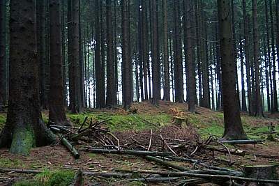 1.5 km
Burial Mounds
Hügelgrab
No picture
1.5 km
Peat Cuttings
Ehemaliger Torfstich Ochsenwies
1.6 km
Burial Mounds
Hügelgrab
1.6 km
Burial Mounds
Hügelgrab
1.6 km
Burial Mounds
Hügelgrab
1.7 km
Burial Mounds