Chapels · Undated
Friedhofskapelle mit Gefallenentafeln

Classification
- Subject area
- Architectural and Art Monuments
- Category
- Religious Buildings
- Object type
- Chapels
- Date
- Undatiert
- Period
- Undated
Location
- District
- Eifelkreis Bitburg-Prüm
- Collective municipality
- Arzfeld
- Municipality
- Harspelt
- Street
- Dorfstraße
- Field name
- Ortslage
- Coordinates
- WGS 84: 50.136670, 6.170320 (Position: exact) WGS 84: 50° 08′ 12.0″ N, 6° 10′ 13.2″ E UTM 32 (ETRS89): E 297795 · N 5557661
Sources
Data sources
- [1] GeoPortal des Landes Rheinland-Pfalz. http://www.geoportal.rlp.de/
On the internet
Picture credits
- Picture 1: © Helmut Bauer, Trier, 2015.
Last edited: 5 Jul 2015 Object ID: 39368
https://kulturdb.de/en/objekt/39368-harspelt-friedhofskapelle-mit-gefallenentafeln
Nearby
The nearest objects
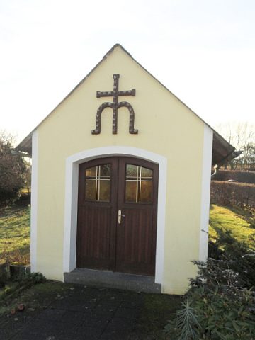 100 m
Chapels
Konenkapelle
No picture
190 m
Chapels
Ehemalige Marienkapelle
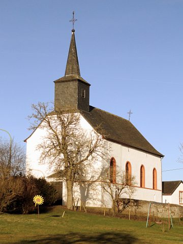 190 m
Catholic Churches
Mariä Geburt
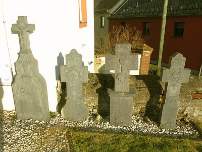 200 m
Burial Sites
Pfarrergrabsteine
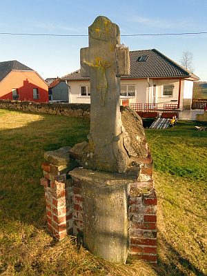 210 m
Wayside Shrines and Stations of the Cross
Balkenkreuz am Kirchhof
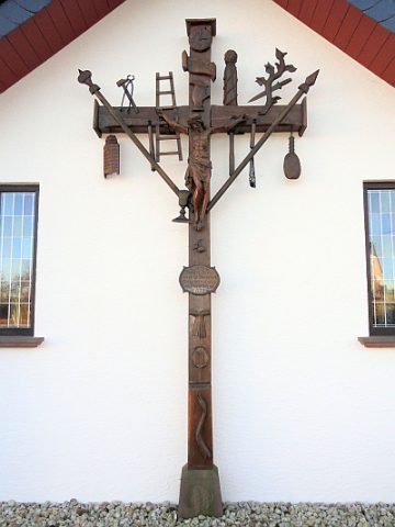 260 m
Wayside Shrines and Stations of the Cross
Kruzifix am ehemaligen Pfarrhaus
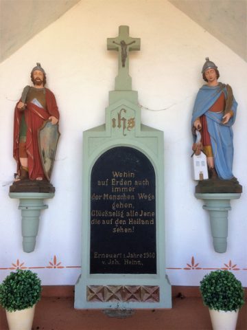
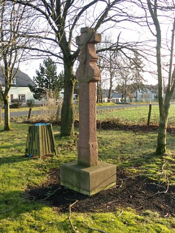 290 m
Wayside Shrines and Stations of the Cross
Wegekreuz
 430 m
Wayside Shrines and Stations of the Cross