Water Supply · 20th Century
Wasserhochbehälter am Hoxgraben


Classification
- Subject area
- Architectural and Art Monuments
- Category
- Water Supply
- Date
- 1972
- Period
- 20th Century
Location
- District
- Trier-Saarburg
- Collective municipality
- Trier-Land
- Municipality
- Welschbillig
- Locality / location
- Auf dem Hoxberg
- Field name
- In Diewelter
- Coordinates
- WGS 84: 49.842670, 6.616010 (Position: exact) WGS 84: 49° 50′ 33.6″ N, 6° 36′ 57.6″ E UTM 32 (ETRS89): E 328598 · N 5523864
Sources
Data sources
- [1] Topographische Karte von 1972.
On the internet
Picture credits
Last edited: 26 Aug 2016 Object ID: 39432
https://kulturdb.de/en/objekt/39432-welschbillig-wasserhochbehaelter-am-hoxgraben
Nearby
The nearest objects
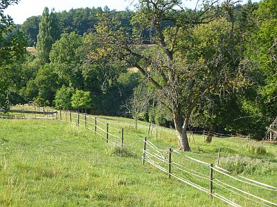 30 m
Find Sites
Römische Fundstelle
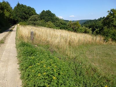 100 m
Settlements
Römische Siedlung
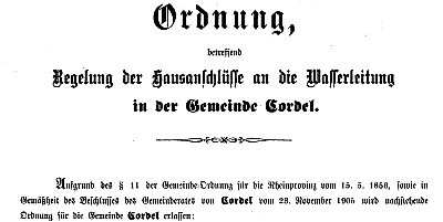 180 m
Springs
Rabenborn
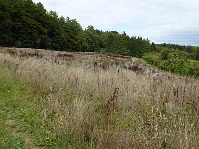 210 m
Field Names
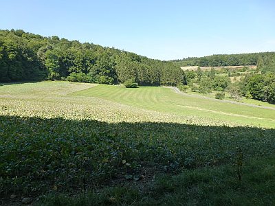
Auf dem Hoxberg
 210 m
Field Names
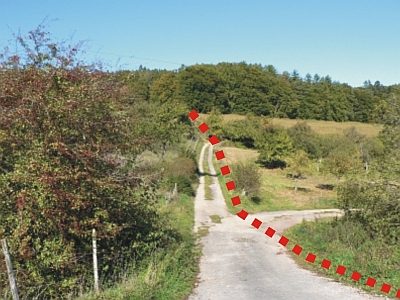
In Diewelter
 260 m
Roman Long Wall
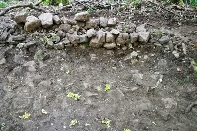
Reste der Langmauer am Hoxberg
 310 m
Roman Long Wall
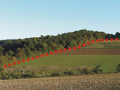
Reste der Langmauer
 320 m
Roman Long Wall