Field Names · Undated
Hinter Pützhöh


© GeoBasis-DE / LVermGeoRP, dl-de/by-2-0
There is no picture of this object yet. Do you have a photo that you would like to make available to the Kulturdatenbank? Submit a picture
Description
This description is only available in German.
Translate with Google opens this page in Google Translate (external service)
Pütz = Der Begriff stammt aus dem Lateinischen: PUTEUS = Brunnen (Zieh- oder Schöpfbrunnen) und ist in den Rheinlanden verbreitet gewesen. [1]
Classification
- Subject area
- History
- Category
- Field Names
- Date
- Undatiert
- Period
- Undated
Location
- District
- Eifelkreis Bitburg-Prüm
- Collective municipality
- Verbandsfreie Gemeinde Bitburg
- Town
- Bitburg
- Locality / location
- Pützhöhe
- Field name
- Hinter Pützhöh
- Coordinates
- WGS 84: 50.003824, 6.535276 (Position: exact) WGS 84: 50° 00′ 13.8″ N, 6° 32′ 07.0″ E UTM 32 (ETRS89): E 323384 · N 5541967
Sources
Data sources
- [1] Klaus Gerteis: Der Sperlingsbusch. Eine Erzählung aus der Zeit des großen deutschen Bauernkrieges. Verlag Weyand, 2015. ISBN 978-3-942 429-23-8
On the internet
Last edited: 15 Nov 2015 Object ID: 39546
https://kulturdb.de/en/objekt/39546-bitburg-hinter-puetzhoeh
Nearby
The nearest objects
 190 m
Farmhouses and Farm Buildings
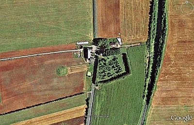
Gehöft Pützhöhe
 190 m
Chapels
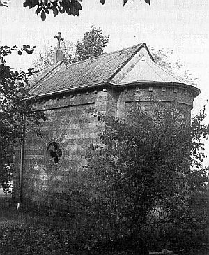
Hofkapelle zur Heiligen Familie (2)
Chapels
Hofkapelle zur Heiligen Familie (1)
Surveying
Trigonometrisches Signal
Field Names
Vor Pützhöhe
Fortresses and Bunkers
Westwall - Flugwache
 520 m
Wayside Shrines and Stations of the Cross
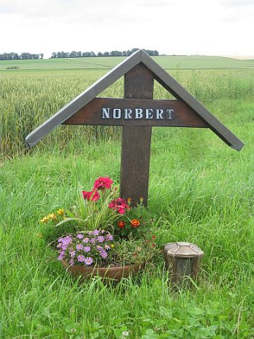
Wegekreuz an der Landesstraße 32
Field Names