Field Names · Undated
In der Olk


© GeoBasis-DE / LVermGeoRP, dl-de/by-2-0
There is no picture of this object yet. Do you have a photo that you would like to make available to the Kulturdatenbank? Submit a picture
Description
This description is only available in German.
Translate with Google opens this page in Google Translate (external service)
Olk – Eingeschlossenes Ackerfeld, das mit dem Pfluge bearbeitet ist, heute nur in Flurnamen und Weinbergslagen. [1]
Classification
- Subject area
- History
- Category
- Field Names
- Date
- Undatiert
- Period
- Undated
Location
- District
- Bernkastel-Wittlich
- Collective municipality
- Bernkastel-Kues
- Municipality
- Zeltingen-Rachtig
- Field name
- In der Olk
- Coordinates
- WGS 84: 49.976027, 6.988899 (Position: exact) WGS 84: 49° 58′ 33.7″ N, 6° 59′ 20.0″ E UTM 32 (ETRS89): E 355804 · N 5537904
Sources
Data sources
- [1] Rheinisches Wörterbuch http://www.woerterbuchnetz.de/RhWB?lemma=olk_i
On the internet
Last edited: 6 Dec 2015 Object ID: 39729
https://kulturdb.de/en/objekt/39729-zeltingen-rachtig-in-der-olk
Nearby
The nearest objects
Field Names
Unter dem Weierborn
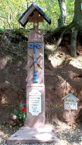 600 m
Wayside Shrines and Stations of the Cross
Wegekreuz
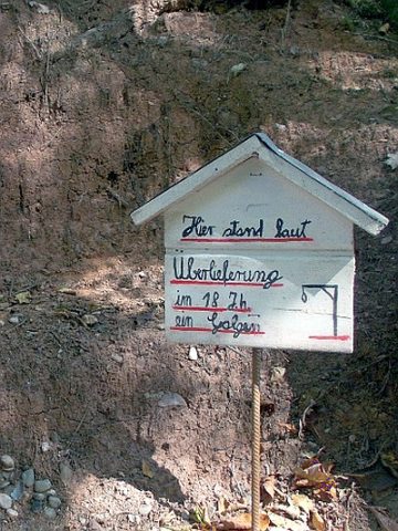 610 m
Execution Sites
Ehemaliger Galgen
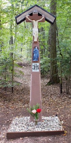 710 m
Wayside Shrines and Stations of the Cross
Wegekreuz
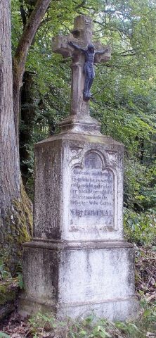 720 m
Wayside Shrines and Stations of the Cross
Wegekreuz
Field Names
Auf dem Rothenberg
Field Names
Ober dem Weierborn
 870 m
Viewpoints